2020s Maps of Washakie County, Wyoming
Explore 69 historic maps of Washakie County from the 2020s. These maps offer a rare glimpse into what life looked like during the 2020s — showing old roads, neighborhoods, homes, and landmarks that have changed or disappeared over time.
Whether you're researching your family's past, planning a metal detecting trip, or studying how Washakie County's landscape evolved across the 2020s, these high-resolution maps are a powerful tool for exploring the history of this region.
- Focus on a specific era: All maps on this page are from the 2020s, giving you a focused view of this time period.
- See what’s changed: Compare century-old streets, trails, and buildings to today's modern landscape using overlays and satellite layers.
- Research with precision: Use these maps for genealogy, historical research, land use analysis, or educational projects.
- View, download, or print: Maps are fully viewable online in high resolution, and can be downloaded or printed for your own records.
Start exploring Washakie County's history through authentic maps from the 2020s. This is your window into the past.
Washakie County, WY maps
(69)- 2021 Map of Blue Mesa West, 2021 Print
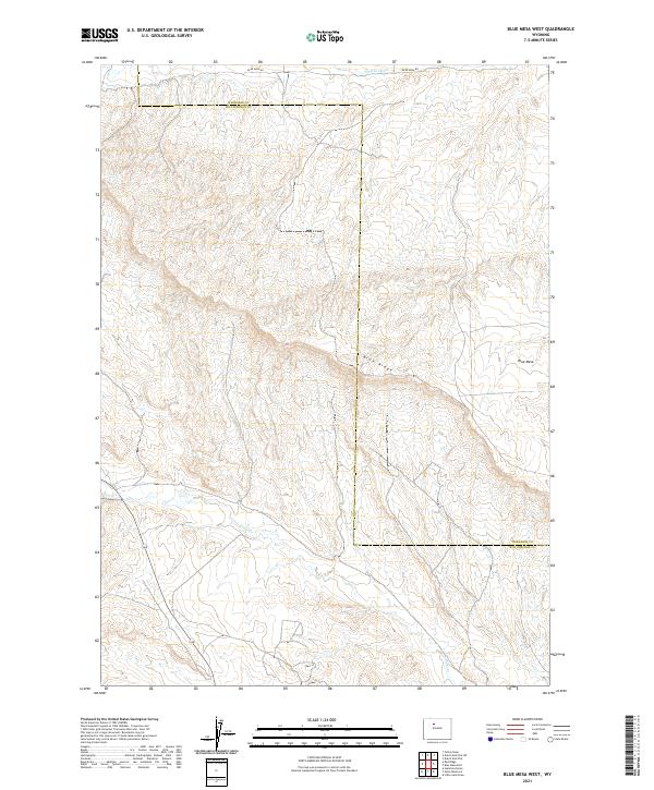 2021 Blue Mesa West2021 Print · USGSHot Springs County terrain is revealed in detail during the early 2020s, showcasing a landscape of high ridges and essential water infrastructure. Researchers can trace the path of Perkins Ditch and Grass Cr or locate family interests near Blue Ridge and Blue Mesa.
 - 2021 Map of Cottonwood Pass, 2021 Print
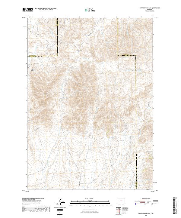 2021 Cottonwood Pass2021 Print · USGSUpper Fremont County is shown here in the early twenty-first century, centered on the high divide of Cottonwood Pass. Historians and hikers can trace remote upland routes like the Bighorn Trl and Oakie Trl past landmarks such as Lysite Mtn and Shelly Seeps.
 - 2021 Map of Sioux Pass, 2021 Print
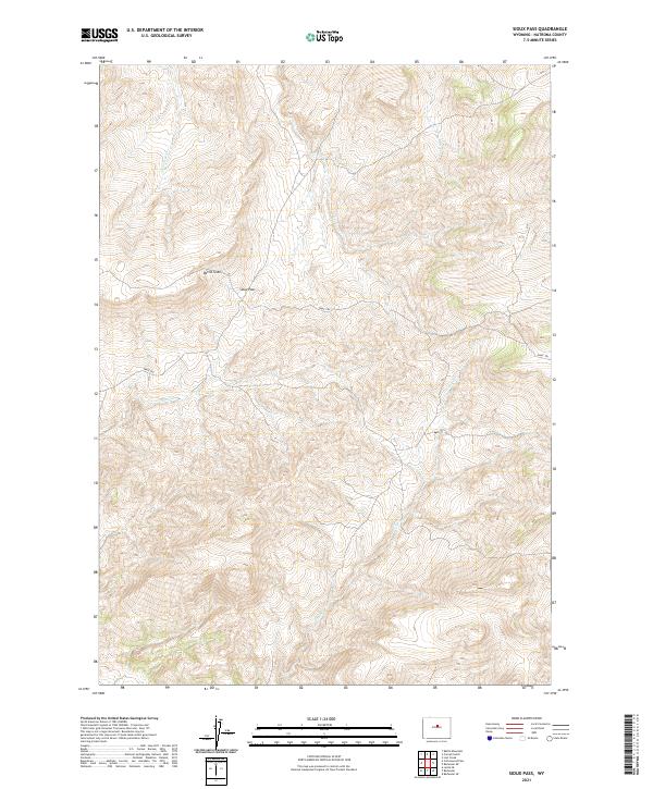 2021 Sioux Pass2021 Print · USGSHigh-altitude Wyoming terrain in Natrona County is meticulously detailed here during the early twenty-first century. Researchers can trace the winding Oakie Trl and locate geological landmarks like Devils Slide and the namesake Sioux Pass.
 - 2021 Map of Tabletop, 2021 Print
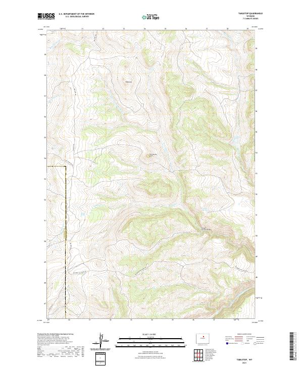 2021 Tabletop2021 Print · USGSJohnson and Washakie Counties are captured here in the early twenty-first century, showing a high-country landscape defined by the headwaters of the Powder River. Researchers can trace the courses of N Fork Red Fork Powder River and Baldwin Cr alongside landmarks like The Castle Rock.
 - 2021 Map of Deadline Draw, 2021 Print
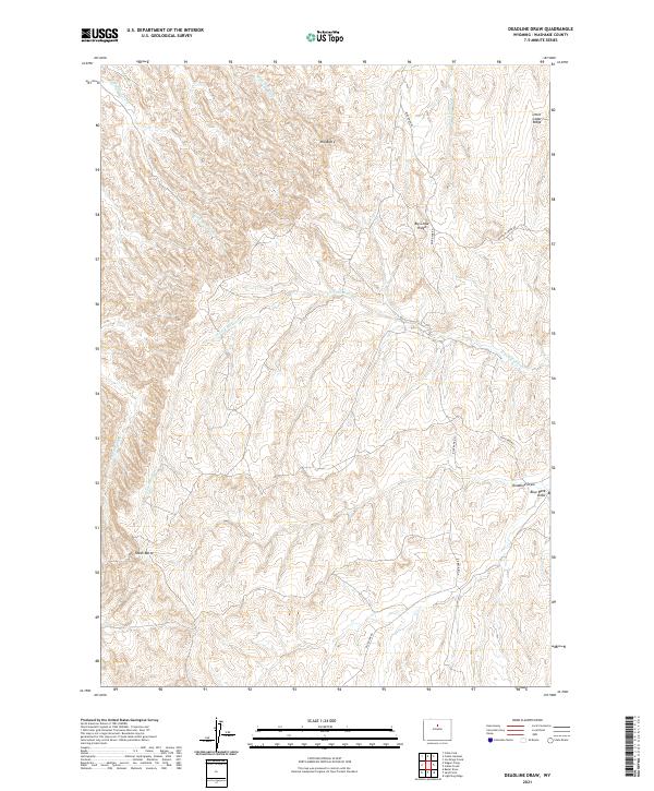 2021 Deadline Draw2021 Print · USGSWashakie County in the 2020s remains a landscape of high ridges and deep draws, defined by seasonal watercourses and remote access roads. Geologists and outdoorsmen can trace the elevation changes between Mid Butte and the winding path of the North Fork Buffalo Creek.
 - 2021 Map of Lightning Ridge, 2021 Print
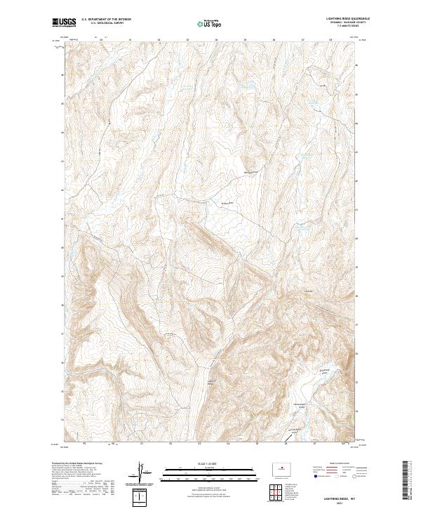 2021 Lightning Ridge2021 Print · USGSWashakie County ranchlands are documented here in recent years, showing the intersection of high-desert terrain and remote infrastructure. Genealogists and historians can trace the paths of Telephone Homestead Rd and Big Trails Rd near the Orchard Ranch Airport.
 - 2021 Map of Gordon Creek, 2021 Print
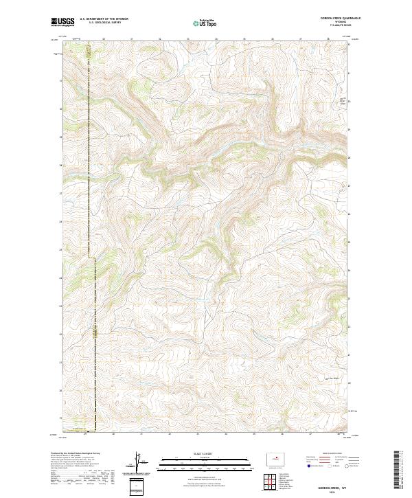 2021 Gordon Creek2021 Print · USGSThe high watershed of the Bighorn Mountains is documented here in the early twenty-first century as the seasons change over the Johnson County line. Trace the drainage of the Middle Fork Powder River and the steep terrain of North River Slope or Dry Vee Slope.
 - 2021 Map of Badwater NE, 2021 Print
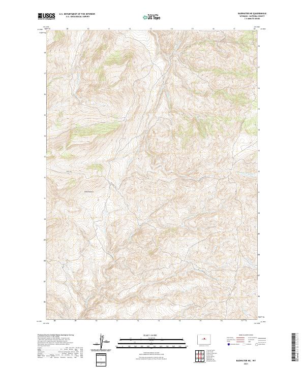 2021 Badwater NE2021 Print · USGSHighlands in Natrona County are captured in this modern survey, revealing the complex drainage of the Wyoming backcountry. Researchers can trace the steep topography and high-elevation watercourses like Little Deep Cr and Little Lost Cr.
 - 2021 Map of Cornell Gulch, 2021 Print
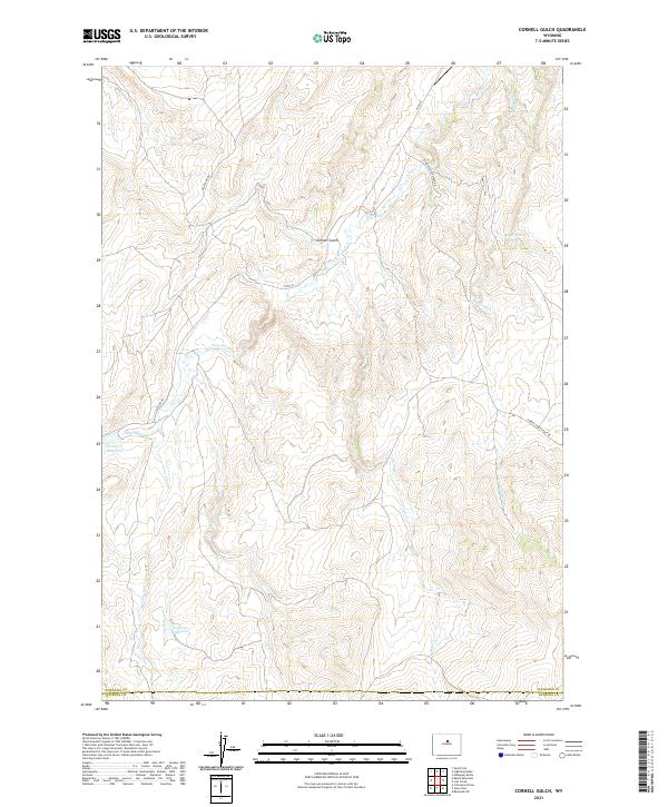 2021 Cornell Gulch2021 Print · USGSWashakie and Natrona counties meet in this drainage basin during the early twenty-first century. Researchers can trace ranching and water history through features like Orchard Reservoir, Berger Spring, and the Cherry Creek Stock Dr.
 - 2021 Map of Packsaddle Creek, 2021 Print
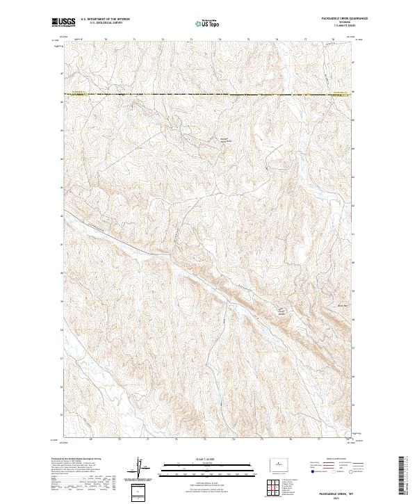 2021 Packsaddle Creek2021 Print · USGSThe borderlands of Washakie and Hot Springs counties are mapped here in the early twenty-first century, showing a remote landscape of high-plains watersheds. Trace the winding paths of Black Mountain Rd and Kirby Creek Rd as they navigate the ridges near Black Mtn and the Lake Creek Divide.
 - 2021 Map of Sand Point, 2021 Print
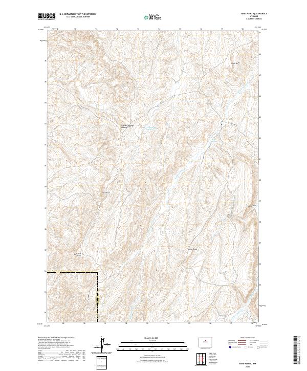 2021 Sand Point2021 Print · USGSWashakie County ranchlands are documented here in the early twenty-first century as the high-desert landscape meets the Hot Springs County line. Researchers can trace remote water sources and landmarks like Buffalo Springs, Sand Point, and Shanty Ridge.
 - 2021 Map of Tallon Spring, 2021 Print
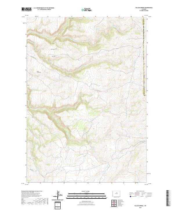 2021 Tallon Spring2021 Print · USGSThe high country along the Washakie and Johnson County line is captured in this recent survey. Researchers can trace the rugged geography of Eberhardt Vee and The Vees, or locate remote water sources like Tallon Spring and Deadmans Spring.
 - 2021 Map of Broom Draw, 2021 Print
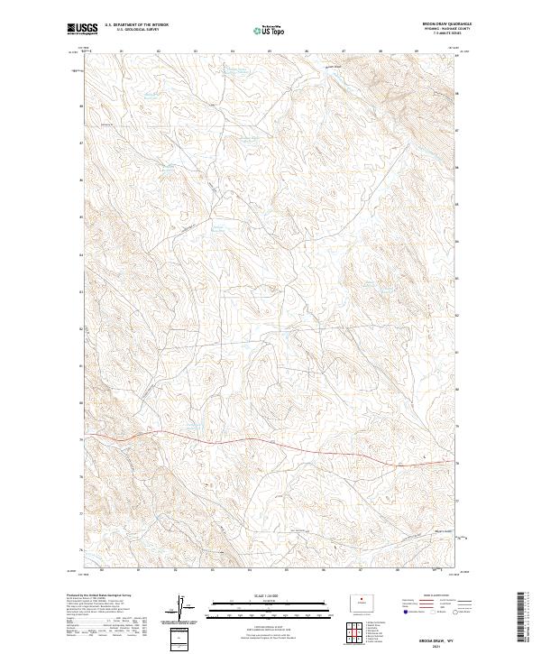 2021 Broom Draw2021 Print · USGSWashakie County, Wyoming, is captured here in the early 2020s, revealing a landscape defined by ranching and resource extraction. Researchers can trace historic transit routes like Old Ten Sleep Hwy and locate industrial landmarks including Pumpjack Reservoir and Hidden Dome Reservoir.
 - 2021 Map of Weintz Draw, 2021 Print
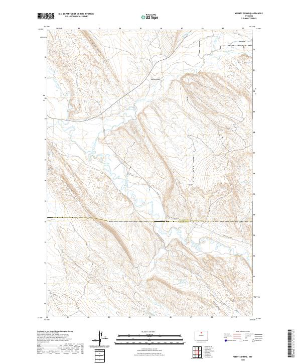 2021 Weintz Draw2021 Print · USGSBig Horn and Washakie counties meet in this 2021 survey of the Nowood River valley as the modern ranching landscape continues to evolve. Researchers can trace intricate water systems like Anita Ditch and identify livestock reservoirs including H G Reservoir and Brewster Reservoir.
 - 2021 Map of Cabin Fork, 2021 Print
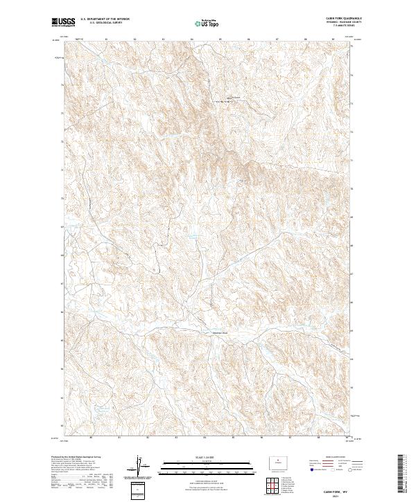 2021 Cabin Fork2021 Print · USGSWashakie County rangeland comes into focus in the early 2020s, showing a landscape defined by seasonal water management and remote transit. Trace the paths of Joe Henry Fork and Deadman Draw, or locate landmarks like Lyman Reservoir Number 1 and Macaroni Pit.
 - 2021 Map of Castle Gardens, 2021 Print
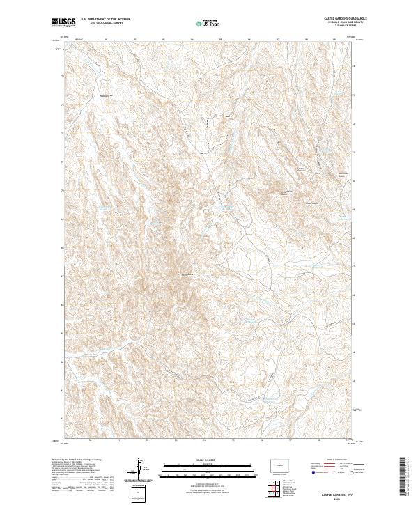 2021 Castle Gardens2021 Print · USGSIn the high plains of Washakie County during the early twenty-first century, this landscape is defined by its arid drainages and vital water catchments. Genealogists and historians can trace family land use through features like Castle Reservoir, Wild Horse Butte, and Blue Bank Rd.
 - 2021 Map of Schuster Flats NW, 2021 Print
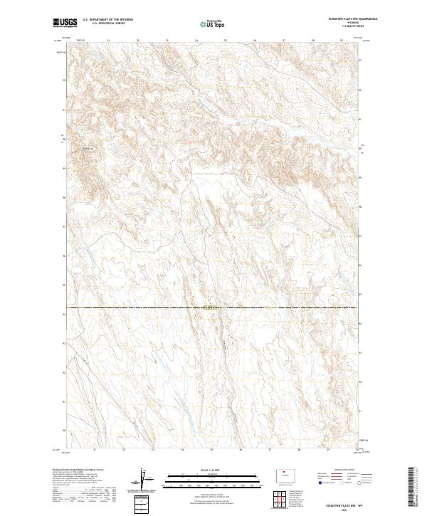 2021 Schuster Flats NW2021 Print · USGSBig Horn and Washakie counties meet in this high desert landscape during the early twenty-first century. Researchers can trace the rugged drainage patterns of Fivemile Cr and North Fork Fifteemile Creek or locate the landmark of Red Butte.
 - 2021 Map of Banjo Flats West, 2021 Print
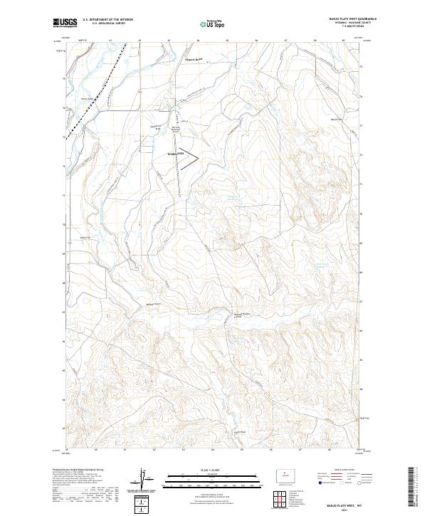 2021 Banjo Flats West2021 Print · USGSThe Bighorn River valley in the early twenty-first century reveals a landscape shaped by irrigation and regional aviation. Trace the path of the Big Horn Canal and Highland Hanover Canal past the Worland Municipal Airport and across the broad expanse of Banjo Flats.
 - 2021 Map of Henry Draw, 2021 Print
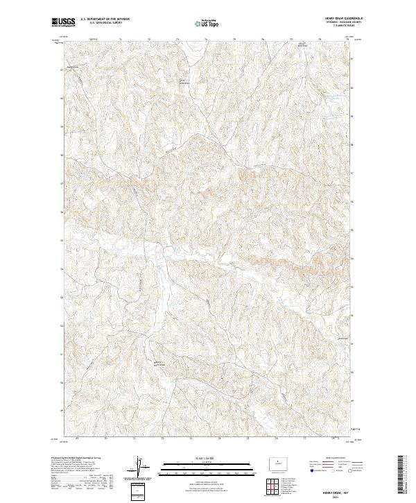 2021 Henry Draw2021 Print · USGSWashakie County ranchlands are detailed in this recent topographic survey, showcasing a landscape of essential water catchments and remote trails. Researchers can trace land use through features like Pinky Reservoir, Seaman Hill Reservoir, and the winding path of Nowater Rd.
 - 2021 Map of Dead Indian Hill, 2021 Print
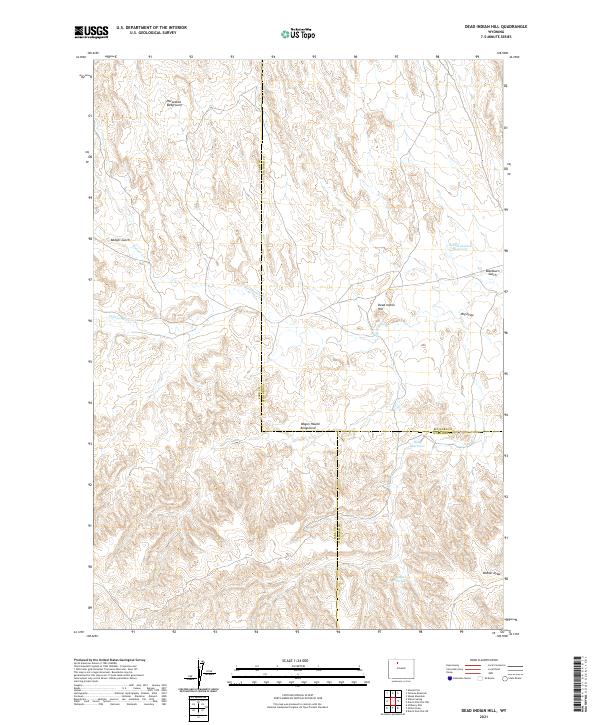 2021 Dead Indian Hill2021 Print · USGSRanching history and water rights converge in this high-desert region of Wyoming. Trace the land use of local families through landmarks like Horseshoe Bedground, Hunt Reservoir, and Dead Indian Hill.
 - 2021 Map of Onion Gulch, 2021 Print
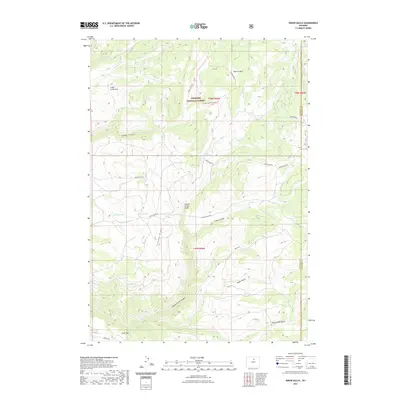 2021 Onion Gulch2021 Print · USGSWashakie County’s high country is captured here in the early twenty-first century, showing the complex hydrology of the Bighorn Mountains. Local researchers can trace water sources like Moses Spring and Beaird Spring or follow the route of the Leigh Cabin Trl through Leigh Canyon.
 - 2021 Map of Horse Butte, 2021 Print
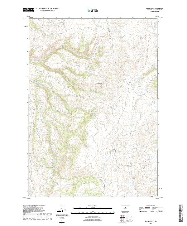 2021 Horse Butte2021 Print · USGSHigh in the southern Big Horn Mountains, this recent survey captures the complex drainage of the Red Fork Powder River and its rugged tributaries. Researchers can trace historic mountain routes like Dry Farm Rd and Hazelton Rd while locating family landmarks such as Mulligan Hole.
 - 2021 Map of Worland SE, 2021 Print
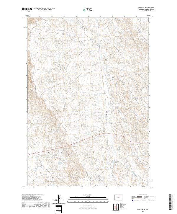 2021 Worland SE2021 Print · USGSWashakie County's high plains are mapped here in the early twenty-first century, showing the critical water and road networks of the Bighorn Basin. You can trace the historic Old Ten Sleep Hwy and locate local landmarks like Clydeos Reservoir and Rattlesnake Ridge Rd.
 - 2021 Map of Schuster Flats SE, 2021 Print
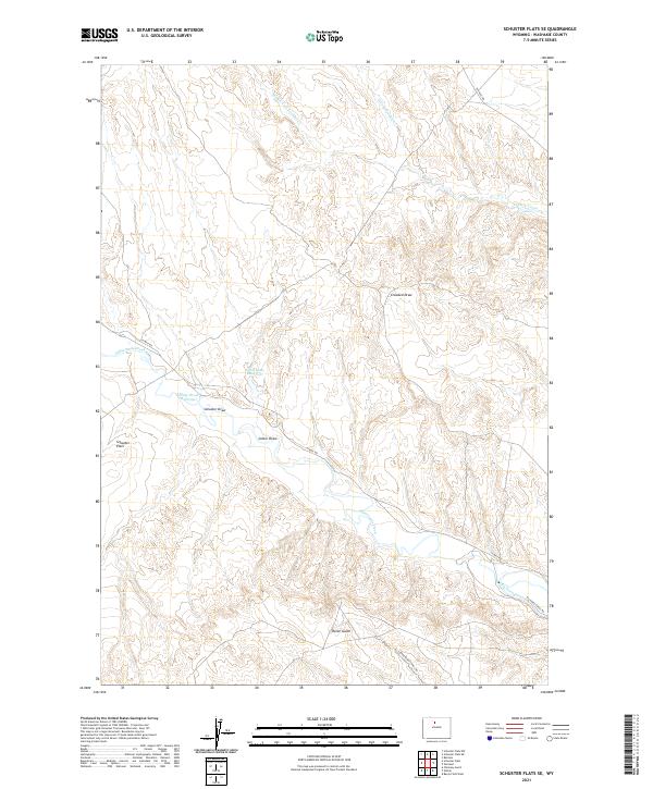 2021 Schuster Flats SE2021 Print · USGSThe high plains of Washakie County are captured in this modern survey of Wyoming’s interior ranchlands. Genealogists and researchers can trace the pathways of Big Horn Canal and name specific landmarks like Schuster Flats and Sand Butte Reservoir.
 - 2021 Map of Grave Spring, 2021 Print
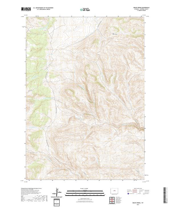 2021 Grave Spring2021 Print · USGSNatrona County's high-country terrain is documented here in the early twenty-first century, showing the headwaters and ridges near the Bighorn Mountains. Trace the remote network of trails and springs such as Bighorn Trl, Grave Spring, and Middle Fork Buffalo Cr.
Showing maps 1-25 of 69
Top cities of Washakie County
Frequently asked questions
- What are the different types of historical maps available for Washakie County?
- What is the oldest map of Washakie County?
- Where can I purchase historical maps of Washakie County for my home or office?
- Where can I download high-res historical maps of Washakie County?
- Are there historical topographic maps available for Washakie County?
- Is there historical aerial imagery available for Washakie County?
- Where are historical maps of Washakie County sourced from?