2010s Maps of Washakie County, Wyoming
Explore 192 historic maps of Washakie County from the 2010s. These maps offer a rare glimpse into what life looked like during the 2010s — showing old roads, neighborhoods, homes, and landmarks that have changed or disappeared over time.
Whether you're researching your family's past, planning a metal detecting trip, or studying how Washakie County's landscape evolved across the 2010s, these high-resolution maps are a powerful tool for exploring the history of this region.
- Focus on a specific era: All maps on this page are from the 2010s, giving you a focused view of this time period.
- See what’s changed: Compare century-old streets, trails, and buildings to today's modern landscape using overlays and satellite layers.
- Research with precision: Use these maps for genealogy, historical research, land use analysis, or educational projects.
- View, download, or print: Maps are fully viewable online in high resolution, and can be downloaded or printed for your own records.
Start exploring Washakie County's history through authentic maps from the 2010s. This is your window into the past.
Washakie County, WY maps
(192)- 2012 Map of Sucker Dam, 2012 Print
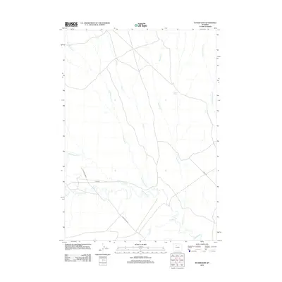 2012 Sucker Dam2012 Print · USGSWashakie County in the early twenty-first century is a landscape shaped by drainage basins and energy infrastructure. Researchers can trace the path of the Platte Pipeline Rd and locate unique features like the Rosette Geyser and Rock Waterhole Cr.
 - 2012 Map of Dutch Nick Flat NW, 2012 Print
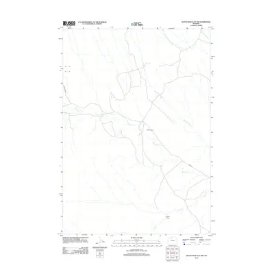 2012 Dutch Nick Flat NW2012 Print · USGSWashakie County at the start of the 2010s reveals a vast, sparsely settled landscape dominated by the seasonal drainages of the Wyoming basin. Researchers can locate the remote Mueller Cabin and trace the paths of Fifteenmile Cr and Rock Waterhole Cr.
 - 2012 Map of Schuster Flats, 2012 Print
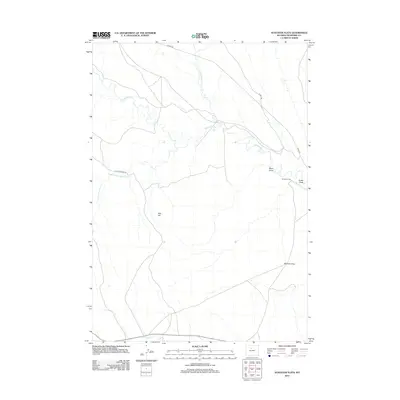 2012 Schuster Flats2012 Print · USGSWashakie County at the start of the 2010s reveals a landscape of high plains ranching and resource management. Researchers can trace the network of drainage draws and ranch sites like Murdoch Cabin or the expansive Schuster Flats.
 - 2012 Map of Schuster Flats NW, 2012 Print
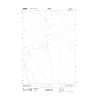 2012 Schuster Flats NW2012 Print · USGSThe high plains of Washakie County appear here in the early twenty-first century, showing a remote landscape of wind-swept ridges and arroyos. Researchers can trace the paths of N Fork Fifteenmile Cr and Fivemile Cr or locate the landmark of Red Butte.
 - 2012 Map of Dutch Nick Flat, 2012 Print
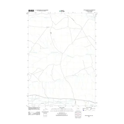 2012 Dutch Nick Flat2012 Print · USGSWashakie County at the start of the 2010s reveals a landscape shaped by high-plains water management and energy infrastructure. Researchers can trace the path of irrigation works like Holder Ditch and Steel Ditch near Gooseberry Cr.
 - 2012 Map of Dutch Nick Flat SW, 2012 Print
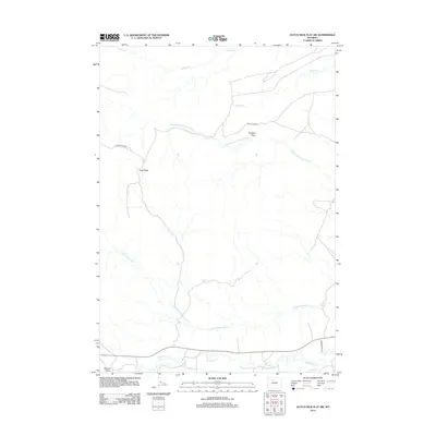 2012 Dutch Nick Flat SW2012 Print · USGSWashakie County at the beginning of the 2010s reveals a landscape of high-plains ridges and vital irrigation networks. Researchers can trace the path of the Perkins Ditch near Gooseberry Cr and locate landmarks like Paradise Alley.
 - 2012 Map of Pierce Draw, 2012 Print
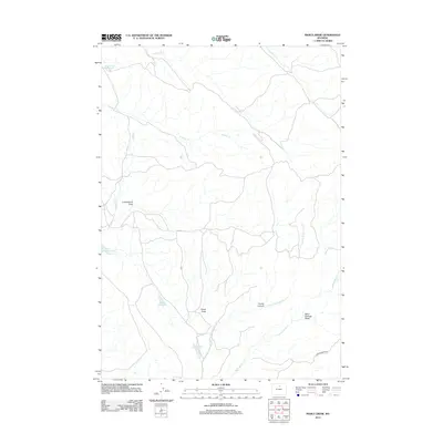 2012 Pierce Draw2012 Print · USGSWashakie County ranchlands are defined by their remote water sources and drainage draws in the early twenty-first century. Researchers can trace the network of high-plains water management through Renner Reservoir, Carothers Lake, and the winding Pierce Draw.
 - 2012 Map of Worland SE, 2012 Print
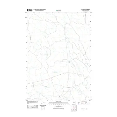 2012 Worland SE2012 Print · USGSWashakie County ranching country is captured here during the early twenty-first century, showing a landscape shaped by water and wool. Trace the local sheep-herding history through the Tolman Shearing Pens and water sources like Clydeos Reservoir and Slick Cr.
 - 2012 Map of McDermotts Butte, 2012 Print
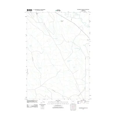 2012 McDermotts Butte2012 Print · USGSIn the arid Wyoming high desert during the early twenty-first century, this map documents a landscape defined by irrigation and ranching. Genealogists and historians can locate Bonanza Cem and trace the complex water systems of Avent Ditch and Nowood River.
 - 2012 Map of Onion Gulch, 2012 Print
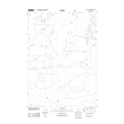 2012 Onion Gulch2012 Print · USGSWashakie County ranching and homesteading life are preserved on this map from the early 2000s. Researchers can locate remote dwellings and livestock outposts such as Moses Homestead, Rice Cow Camp, and Canyon Creek Sinks.
 - 2012 Map of Wild Horse Hill, 2012 Print
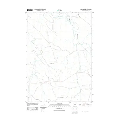 2012 Wild Horse Hill2012 Print · USGSWashakie County ranch lands and irrigation networks are shown here in the early twenty-first century. Researchers can trace historic transit and water routes, from the W T Stock Driveway to the Victoria-Winsor Ditch and Wild Horse Hill.
 - 2012 Map of Ten Sleep, 2012 Print
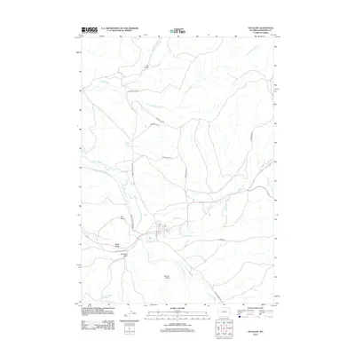 2012 Ten Sleep2012 Print · USGSTen Sleep sits at the vital junction of river and road in the early twenty-first century. Genealogists and local historians can trace irrigation networks like Standish Ditch or locate family-named landmarks such as McClellan Gulch and Signal Butte.
 - 2012 Map of Meadowlark Lake, 2012 Print
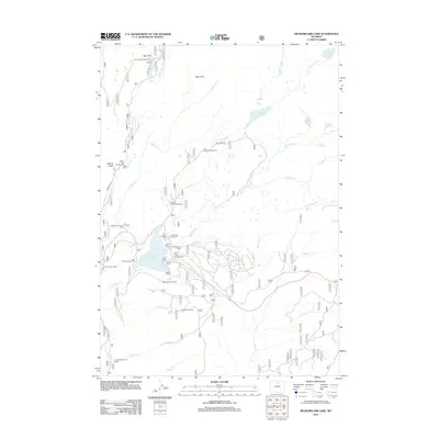 2012 Meadowlark Lake2012 Print · USGSMeadow Lark Lake was a hub of mountain recreation and forest management in the Bighorn Mountains during the early 2010s. Trace the layout of the Meadowlark Ski Area or find the remote High Park Lookout and Varnays Memorial Camp.
 - 2012 Map of Old Maid Gulch, 2012 Print
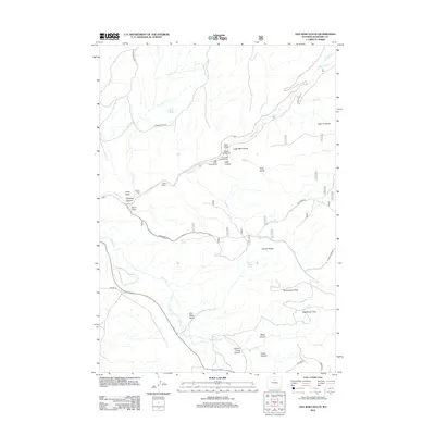 2012 Old Maid Gulch2012 Print · USGSWashakie County ranchlands and canyons are seen here in the early twenty-first century, before recent shifts in land use. Researchers can trace the layout of the Tensleep Fish Hatchery and locate remote landmarks like the Circle J Ranch and Old Maid Gulch.
 - 2012 Map of Weintz Draw, 2012 Print
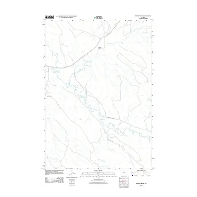 2012 Weintz Draw2012 Print · USGSBig Horn County ranching and energy production are captured here in the early twenty-first century. Researchers can trace water rights and industrial footprints through features like the Ninetysix Canal and the Bonanza Oil Field.
 - 2012 Map of Brokenback Narrows, 2012 Print
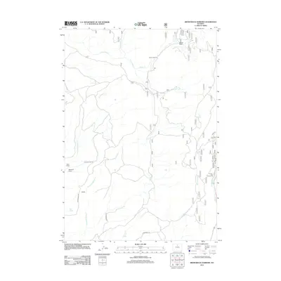 2012 Brokenback Narrows2012 Print · USGSBig Horn County's high country is captured here in the early twenty-first century, centered on the dramatic Brokenback Narrows. Outdoor enthusiasts and researchers can locate established sites like Boulder Park Campground and remote water sources including Sand Springs and Lone Tree Spring.
 - 2012 Map of Sand Point, 2012 Print
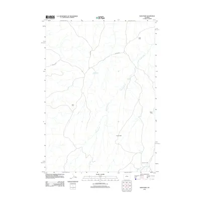 2012 Sand Point2012 Print · USGSWashakie County ranching country is captured here during the early twenty-first century, showing a landscape of high ridges and isolated outposts. Researchers can locate remote landmarks like Orchards Cow Camp and trace the paths of Blue Bank Rd and Devils Slide Rd.
 - 2012 Map of Tabletop, 2012 Print
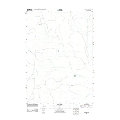 2012 Tabletop2012 Print · USGSThe high Wyoming plateau near the Powder River headwaters remains a landscape of remote cabins and spring-fed creeks in the early 2000s. Genealogists and historians can trace named landmarks like Hess Cabin, The Castle Rock, and Thompson Springs.
 - 2012 Map of Deadline Draw, 2012 Print
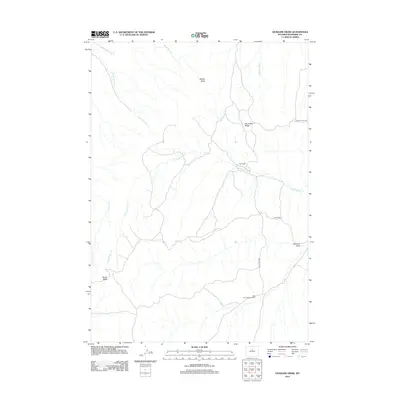 2012 Deadline Draw2012 Print · USGSWashakie County ranchlands and high ridges are captured in the early twenty-first century, showing a landscape shaped by seasonal water and livestock management. Researchers can trace remote sites like The Dugout and the Blue Bank Shearing Pens.
 - 2012 Map of Cabin Fork, 2012 Print
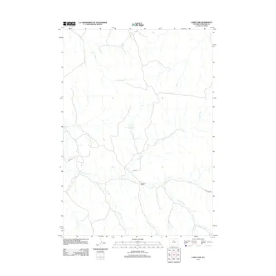 2012 Cabin Fork2012 Print · USGSIn the high basins of Washakie County during the early twenty-first century, a network of seasonal forks and ranch roads defines the landscape. Researchers can trace the drainage patterns of Deadman Draw and water storage at Lyman Reservoir Number 1.
 - 2012 Map of Indian Creek, 2012 Print
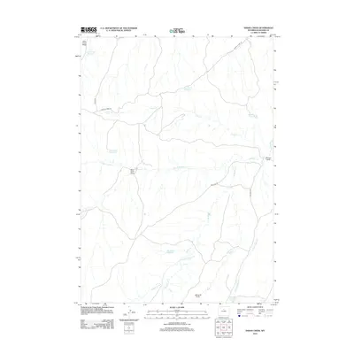 2012 Indian Creek2012 Print · USGSWashakie County ranchlands in the early twenty-first century are defined by a complex network of reservoirs and desert drainages. Researchers can trace land-use patterns through water-rights markers like Big Trails Reservoir, Homestead Reservoir, and Flat Bottom Reservoir.
 - 2012 Map of Castle Gardens, 2012 Print
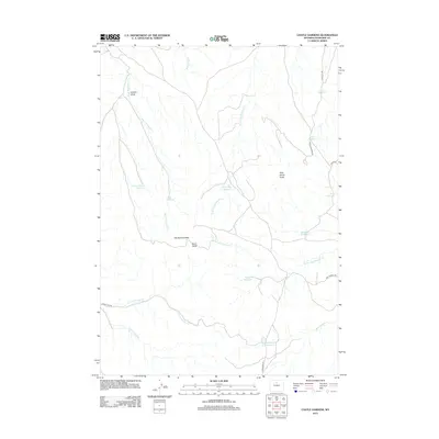 2012 Castle Gardens2012 Print · USGSWashakie County at the start of the 2010s reveals a landscape defined by desert hydrology and isolated buttes. Researchers can trace the network of ranching reservoirs and remote tracks like Castle Gardens Rd, The Honeycombs, and Bud Kimball Reservoir.
 - 2012 Map of Banjo Flats East, 2012 Print
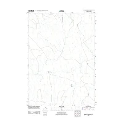 2012 Banjo Flats East2012 Print · USGSWashakie County at the start of the twenty-first century remains a landscape of high-desert drainages and industrial access roads. Researchers can trace the paths of Mobil Rd and Rattlesnake Ridge Rd past Denver Jake Draw.
 - 2012 Map of Wagon Prong, 2012 Print
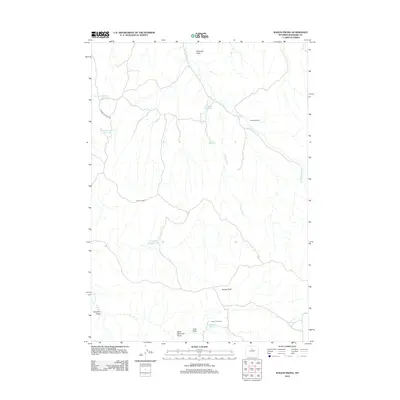 2012 Wagon Prong2012 Print · USGSWashakie County ranching country is captured here during the early twenty-first century, showing a landscape defined by seasonal camps and stock water. Researchers can trace the layout of Meleskie Camp and locate water sources like The Seeps and Old Quaker Reservoir.
 - 2012 Map of Packsaddle Creek, 2012 Print
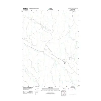 2012 Packsaddle Creek2012 Print · USGSThe high plains of Washakie County appear here in the early twenty-first century, defined by its energy production and high-desert drainage basins. Researchers can trace the industrial footprint of the Murphy Dome Oil Field and the central Lake Creek Divide.
Showing maps 1-25 of 192
Top cities of Washakie County
Frequently asked questions
- What are the different types of historical maps available for Washakie County?
- What is the oldest map of Washakie County?
- Where can I purchase historical maps of Washakie County for my home or office?
- Where can I download high-res historical maps of Washakie County?
- Are there historical topographic maps available for Washakie County?
- Is there historical aerial imagery available for Washakie County?
- Where are historical maps of Washakie County sourced from?