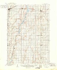
1895 Map of Aberdeen
USGS Topo · Published 1950About this map
Aberdeen anchors this 1893 survey of northeastern South Dakota, serving as a vital rail hub where the Great Northern R.R. and Chicago Milwaukee and St. Paul R.R. converge. The landscape is dominated by the meandering course of the James River, which snakes southward through the center of the sheet past the settlement of Rondell. The surrounding terrain, categorized by expansive tracts like Garden Prairie and La Prairie, reflects the region's agricultural transition during the late nineteenth century.
Find a feature on this map
40 named features on this map. Tap any name to fly to it.
Don’t see what you’re looking for? This feature index may not catch every label — zoom into the map to look around manually.
Map Details
Editions of this 1895 Aberdeen Map
4 editions found
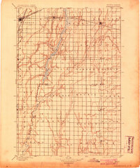
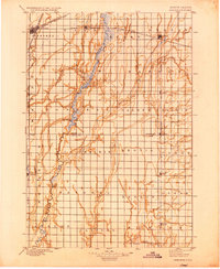
Other maps of this area

1894 · Conde
USGS Topo · 1:62,500

1894 · Columbia
USGS Topo · 1:62,500

1895 · Byron
USGS Topo · 1:125,000

1895 · Aberdeen
USGS Topo · 1:125,000

1896 · Columbia
USGS Topo · 1:125,000

1899 · Ellendale
USGS Topo · 1:125,000

1899 · Northville
USGS Topo · 1:125,000

1899 · Redfield
USGS Topo · 1:125,000

1952 · Huffton
USGS Topo · 1:24,000

1952 · Columbia
USGS Topo · 1:24,000