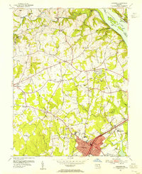
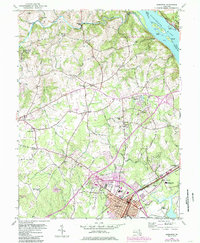
1953 Map of Aberdeen
USGS Topo · Published 1955About this map
Aberdeen serves as the focal point of this 1953 revision, showing the town's layout just as the General Pulaski Highway and the Pennsylvania railroad established it as a critical transport hub. The eastern boundary is defined by the Susquehanna River, where Robert, Wood, and Steel Island sit near the riverbanks. To the southwest, the massive footprint of the U S Military Reservation Aberdeen Proving Grounds highlights the region's mid-century importance to national defense.
Find a feature on this map
85 named features on this map. Tap any name to fly to it.
Don’t see what you’re looking for? This feature index may not catch every label — zoom into the map to look around manually.
Map Details
Editions of this 1953 Aberdeen Map
5 editions found
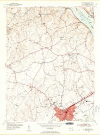
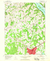
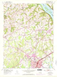
Other maps of this area

1893 · Gunpowder
USGS Topo · 1:62,500

1898 · Tolchester
USGS Topo · 1:125,000

1900 · Havre De Grace
USGS Topo · 1:62,500

1900 · Betterton
USGS Topo · 1:62,500

1901 · Belair
USGS Topo · 1:62,500

1901 · Gunpowder
USGS Topo · 1:62,500

1903 · Tolchester
USGS Topo · 1:125,000

1908 · Tolchester
USGS Topo · 1:125,000

1941 · Gunpowder
USGS Topo · 1:62,500

1942 · Havre De Grace
USGS Topo · 1:62,500