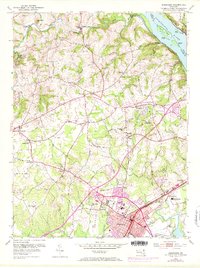
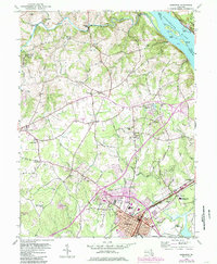
1953 Map of Aberdeen
USGS Topo · Published 1971About this map
The Susquehanna River defines the eastern boundary of this Harford County landscape, where riverfront islands like Steel Island and Robert Island sit across from the town of Lapidum. Inland, the 1950s terrain is characterized by a transition from traditional rural mill sites to mid-century infrastructure. Historic crossroads and hamlets such as Noble Mill, Glenville, and Churchville are mapped alongside modern additions like the Aldino Airport and the Aberdeen Airpark.
Find a feature on this map
74 named features on this map. Tap any name to fly to it.
Don’t see what you’re looking for? This feature index may not catch every label — zoom into the map to look around manually.
Map Details
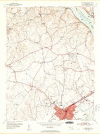
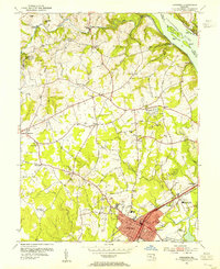
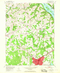
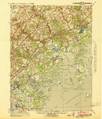
Editions of this 1953 Aberdeen Map
5 editions found
Other maps of this area

1893 · Gunpowder
USGS Topo · 1:62,500

1898 · Tolchester
USGS Topo · 1:125,000

1900 · Havre De Grace
USGS Topo · 1:62,500

1900 · Betterton
USGS Topo · 1:62,500

1901 · Belair
USGS Topo · 1:62,500

1901 · Gunpowder
USGS Topo · 1:62,500

1903 · Tolchester
USGS Topo · 1:125,000

1908 · Tolchester
USGS Topo · 1:125,000
1941 · Gunpowder
USGS Topo · 1:62,500

1942 · Havre De Grace
USGS Topo · 1:62,500