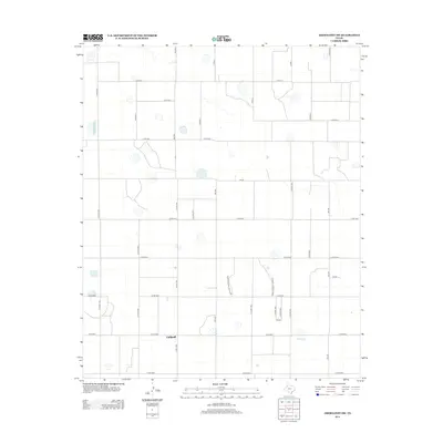
2012 Map of Abernathy SW
USGS Topo · Published 2012About this map
Caldwell serves as a primary local reference point in this corner of the South Plains, situated within a vast grid of agricultural and transport infrastructure. The landscape is defined by its rectilinear organization, where numerous county roads such as Co Rd-5100 and Co Rd-1700 divide the territory into precise sections typical of the Texas Panhandle's farming districts. Several large ephemeral lakes or basins are scattered throughout the quadrangle, highlighting the unique hydrology of the High Plains where natural depressions collect seasonal runoff. This transportation network is anchored by several important thoroughfares, including Farm-To-Market Road 2528 and Fm-597, which facilitate the movement of goods and people between the region's scattered agricultural hubs.
Find a feature on this map
30 named features on this map. Tap any name to fly to it.
Don’t see what you’re looking for? This feature index may not catch every label — zoom into the map to look around manually.
Map Details
Editions of this 2012 Abernathy SW Map
This is the sole edition of this map. No revisions or reprints were ever made.
Other maps of this area

1954 · Lubbock
USGS Topo · 1:250,000

1954 · Brownfield
USGS Topo · 1:250,000

1956 · Shallowater
USGS Topo · 1:24,000

1956 · New Deal
USGS Topo · 1:24,000

1957 · Lubbock
USGS Topo · 1:62,500

1957 · Anton
USGS Topo · 1:62,500

1957 · Abernathy
USGS Topo · 1:62,500

1957 · Wolfforth
USGS Topo · 1:62,500

1958 · Brownfield
USGS Topo · 1:250,000

1962 · Brownfield
USGS Topo · 1:250,000