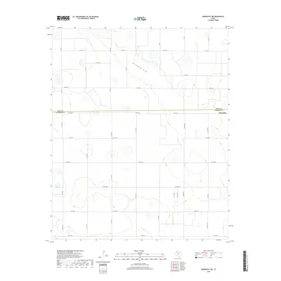
2019 Map of Abernathy SW
USGS Topo · Published 2019About this map
The High Plains landscape of the Texas Panhandle is defined here by the sparse, ephemeral drainage of Blackwater Draw, which meanders across the northern portion of this survey. The terrain is a structured grid of agricultural land and county roads, reflecting the large-scale ranching and farming operations typical of the Llano Estacado. The boundary between Hale Co and Lubbock Co bisects the area along Co RD 5000, serving as a primary east-west corridor toward the settlement of Abernathy at the eastern edge. Local transportation is dominated by a systematic network of numbered county roads and farm-to-market routes like Fm 2528, which connect isolated farmsteads across the flat, semi-arid plateau. Numerous small depressions and playas dot the sections, providing critical seasonal water collection points in a region where surface water is otherwise limited.
Find a feature on this map
28 named features on this map. Tap any name to fly to it.
Don’t see what you’re looking for? This feature index may not catch every label — zoom into the map to look around manually.
Map Details
Editions of this 2019 Abernathy SW Map
This is the sole edition of this map. No revisions or reprints were ever made.
Other maps of this area

1954 · Lubbock
USGS Topo · 1:250,000

1954 · Brownfield
USGS Topo · 1:250,000

1956 · Shallowater
USGS Topo · 1:24,000

1956 · New Deal
USGS Topo · 1:24,000

1957 · Lubbock
USGS Topo · 1:62,500

1957 · Anton
USGS Topo · 1:62,500

1957 · Abernathy
USGS Topo · 1:62,500

1957 · Wolfforth
USGS Topo · 1:62,500

1958 · Brownfield
USGS Topo · 1:250,000

1962 · Brownfield
USGS Topo · 1:250,000