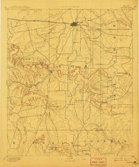
1892 Map of Abilene
USGS Topo · Published 1908About this map
Abilene stands at the northern edge of this 1890s survey, established as a major livestock and shipping hub along the Texas and Pacific Railway. The map reveals the shifting political and cultural landscape of the Big Country, where the older settlement of Buffalo Gap—the original county seat—contrasts with the rail-driven growth of the newer town to its north. The terrain transitions from the plains into the prominent ridges of the Callahan Divide, marked by distinct landmarks such as Steamboat Mountain, Bald Eagle Peak, and Eagle Mountain. To the south, early frontier outposts and cattle-ranching communities like Guion, Tecumseh, and Atoka dot the drainages of Pecan Bayou and Jim Ned Creek. The complex network of gaps, including Cedar Gap and Table Gap, illustrates the natural passes through the mesas that dictated early travel and trade routes between the Brazos and Colorado River watersheds.
Find a feature on this map
39 named features on this map. Tap any name to fly to it.
Don’t see what you’re looking for? This feature index may not catch every label — zoom into the map to look around manually.
Map Details
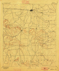
Editions of this 1892 Abilene Map
5 editions found
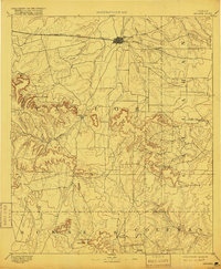
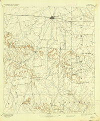
Other maps of this area

1887 · Coleman
USGS Topo · 1:125,000

1889 · Coleman
USGS Topo · 1:125,000

1890 · Abilene
USGS Topo · 1:125,000

1891 · Hayrick
USGS Topo · 1:125,000

1891 · Anson
USGS Topo · 1:125,000

1892 · Abilene
USGS Topo · 1:125,000

1892 · Ballinger
USGS Topo · 1:125,000

1892 · Albany
USGS Topo · 1:125,000

1893 · Albany
USGS Topo · 1:125,000

1893 · Roby
USGS Topo · 1:125,000