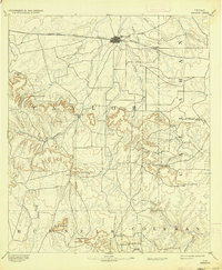
1892 Map of Abilene
USGS Topo · Published 1937About this map
The Texas and Pacific Railway defines the northern development of this West Texas landscape, connecting the growing hub of Abilene to smaller settlements like Elmdale. To the south, the terrain rises into the distinctive Callahan Divide, a series of flat-topped mesas and peaks that historically restricted movement to strategic passes. Genealogists and local historians can trace early transportation routes through these breaks in the hills, including Buffalo Gap, Cedar Gap, and Lytle Gap.
Find a feature on this map
37 named features on this map. Tap any name to fly to it.
Don’t see what you’re looking for? This feature index may not catch every label — zoom into the map to look around manually.
Map Details
Editions of this 1892 Abilene Map
5 editions found
Other maps of this area

1887 · Coleman
USGS Topo · 1:125,000

1889 · Coleman
USGS Topo · 1:125,000

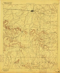
1890 · Abilene
USGS Topo · 1:125,000

1891 · Hayrick
USGS Topo · 1:125,000

1891 · Anson
USGS Topo · 1:125,000

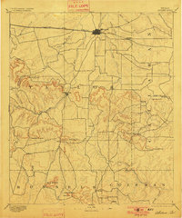
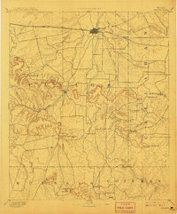
1892 · Abilene
USGS Topo · 1:125,000

1892 · Ballinger
USGS Topo · 1:125,000

1892 · Albany
USGS Topo · 1:125,000

1893 · Albany
USGS Topo · 1:125,000

1893 · Roby
USGS Topo · 1:125,000