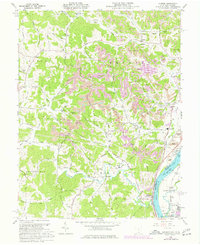
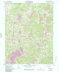
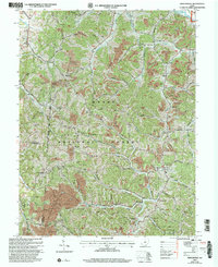
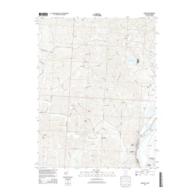
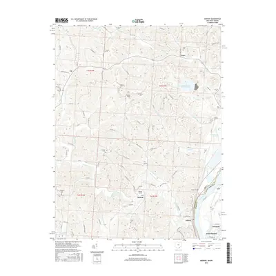
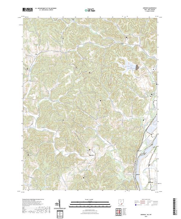
1960 Map of Addison
USGS Topo · Published 1977About this map
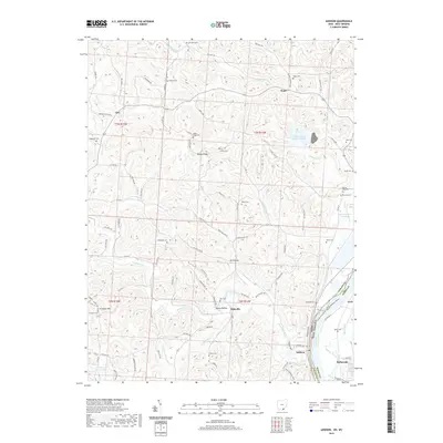
Addison and Bulaville anchor this survey of the Ohio River valley at the border of Ohio and West Virginia. The landscape is defined by the heavy presence of Strip Mines and numerous Gas Wells across the dissected uplands of Poplar Ridge and Possum Hollow. Along the riverbanks, industrial infrastructure is evident through a prominent Power Plant, a Sub Sta, and the parallel tracks of the Chesapeake and Ohio and Baltimore and Ohio railroads. For genealogists, the map is particularly rich in family-named sites, including the Halfhill Cem, Lemley Cem, and Fulton Cem, alongside rural institutions like Wesley Chapel and Addaville Sch. The complex drainage network of Kyger Creek, Campaign Creek, and Morgan Lick Run illustrates the difficult terrain that shaped early transportation routes such as Jessie Creek Road and Addison Bulaville Road.
Find a feature on this map
83 named features on this map. Tap any name to fly to it.
Don’t see what you’re looking for? This feature index may not catch every label — zoom into the map to look around manually.
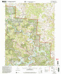
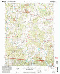
Map Details
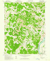
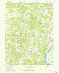
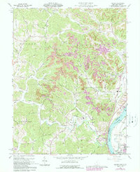
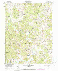
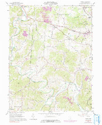
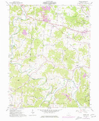
Editions of this 1960 Addison Map
4 editions found
Historical Maps of Point Pleasant Through Time
28 maps found
1960 Addison
Gallia County, OH
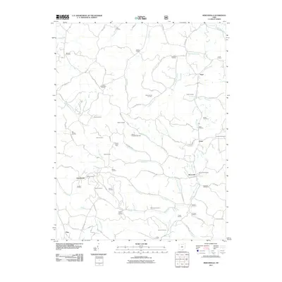
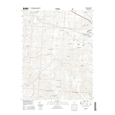
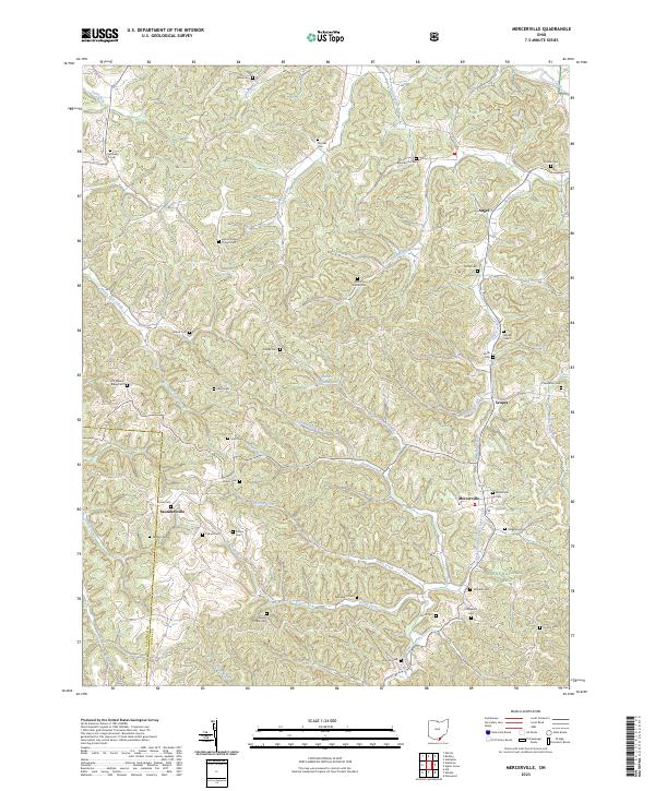
1961 Mercerville
Gallia County, OH
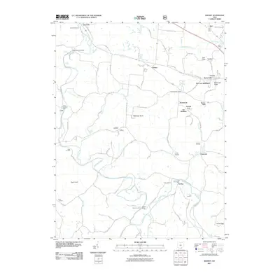
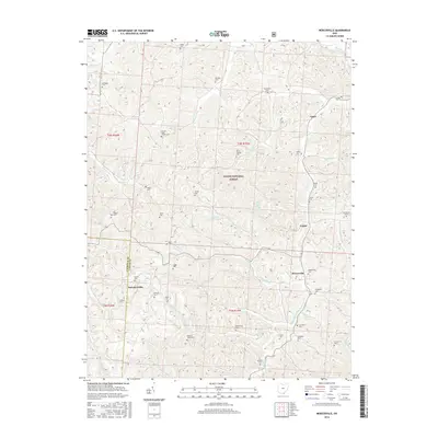
1961 Patriot
Gallia County, OH
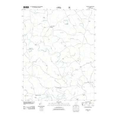
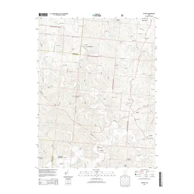
1961 Rodney
Gallia County, OH
1975 Rodney
Gallia County, OH
2002 Mercerville
Gallia County, OH
2002 Patriot
Gallia County, OH
2002 Rodney
Gallia County, OH
2011 Addison
Gallia County, OH
2011 Mercerville
Gallia County, OH
2011 Patriot
Gallia County, OH
2011 Rodney
Gallia County, OH
2013 Addison
Gallia County, OH

2013 Mercerville
Gallia County, OH
2013 Patriot
Gallia County, OH
2013 Rodney
Gallia County, OH
2016 Addison
Gallia County, OH
2016 Mercerville
Gallia County, OH
2016 Patriot
Gallia County, OH
2016 Rodney
Gallia County, OH
2019 Addison
Gallia County, OH
2019 Mercerville
Gallia County, OH
2019 Patriot
Gallia County, OH
2019 Rodney
Gallia County, OH
2023 Addison
Gallia County, OH
2023 Mercerville
Gallia County, OH
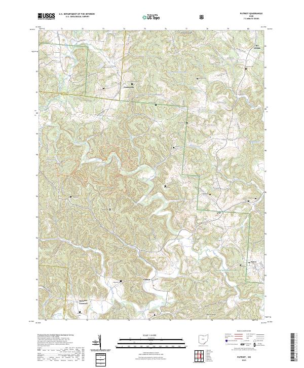
2023 Patriot
Gallia County, OH
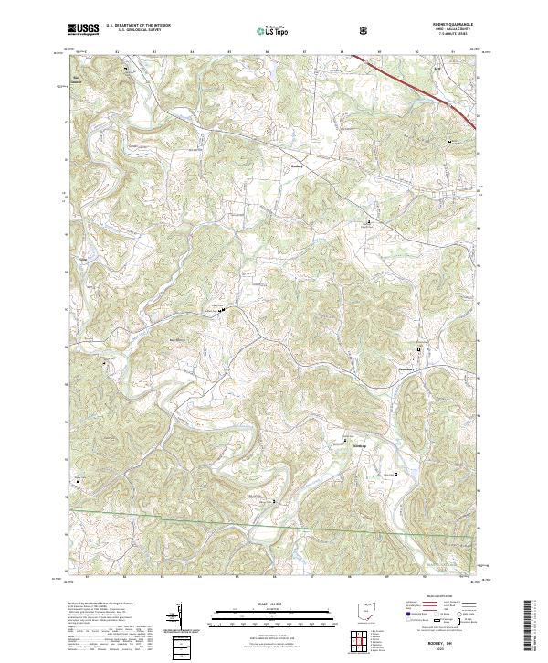
2023 Rodney
Gallia County, OH
Featured Locations
- Point Pleasant, WV
- York, WV
- Addison, Addison Township
- Bulaville, Addison Township
- Kyger, Cheshire Township