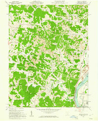
1960 Map of Addison
USGS Topo · Published 1961About this map
Industrial and rural landscapes converge along the Ohio River in this 1960 survey of Gallia County. The eastern edge of the map reveals a heavy industrial corridor where a massive Power Plant sits near the riverbank, serviced by the Chesapeake and Ohio railroad and a network of tailings ponds. Just inland, the terrain is defined by extensive Strip Mines that cut across Poplar Ridge and the hills above Stingy Run.
Find a feature on this map
56 named features on this map. Tap any name to fly to it.
Don’t see what you’re looking for? This feature index may not catch every label — zoom into the map to look around manually.
Map Details
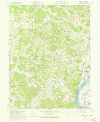
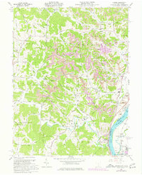
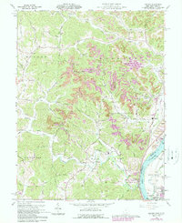
Editions of this 1960 Addison Map
4 editions found
Other maps of this area

1905 · Wilkesville
USGS Topo · 1:62,500

1906 · Bidwell
USGS Topo · 1:62,500

1907 · Pomeroy
USGS Topo · 1:62,500

1908 · Bidwell
USGS Topo · 1:62,500

1908 · Point Pleasant
USGS Topo · 1:62,500

1908 · Wilkesville
USGS Topo · 1:62,500

1926 · Point Pleasant
USGS Topo · 1:62,500

1929 · Point Pleasant
USGS Topo · 1:62,500

1947 · Columbus
USGS Topo · 1:250,000

1957 · Beech Hill
USGS Topo · 1:24,000