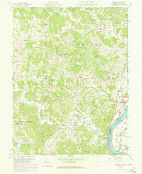
1960 Map of Addison
USGS Topo · Published 1973About this map
Strip mines and numerous gas wells define the industrial landscape of this Gallia County region at the turn of the 1960s. The rugged terrain, dominated by the long spine of Poplar Ridge, is carved by Kyger Creek and Campaign Creek as they flow toward the Ohio River. This river corridor serves as a vital transportation artery, featuring the parallel tracks of the Chesapeake and Ohio and Baltimore and Ohio railroads.
Find a feature on this map
53 named features on this map. Tap any name to fly to it.
Don’t see what you’re looking for? This feature index may not catch every label — zoom into the map to look around manually.
Map Details
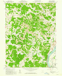
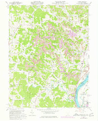
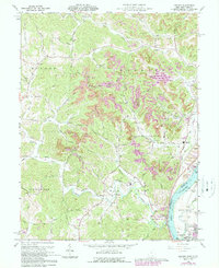
Editions of this 1960 Addison Map
4 editions found
Other maps of this area

1905 · Wilkesville
USGS Topo · 1:62,500

1906 · Bidwell
USGS Topo · 1:62,500

1907 · Pomeroy
USGS Topo · 1:62,500

1908 · Bidwell
USGS Topo · 1:62,500

1908 · Point Pleasant
USGS Topo · 1:62,500

1908 · Wilkesville
USGS Topo · 1:62,500

1926 · Point Pleasant
USGS Topo · 1:62,500

1929 · Point Pleasant
USGS Topo · 1:62,500

1947 · Columbus
USGS Topo · 1:250,000

1957 · Beech Hill
USGS Topo · 1:24,000