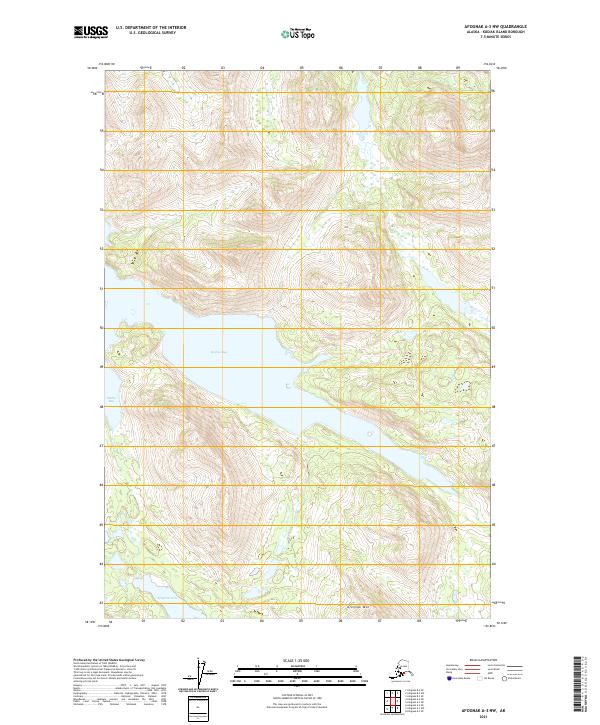
2021 Map of Afognak A-3 NW
USGS Topo · Published 2021About this map
Malina Bay serves as the central geographic feature of this wilderness study on Kodiak Island, where the sea deeply indents the northern coastline. The terrain is dominated by significant elevation changes, rising sharply from the saltwater inlets toward the heights of Afognak Mtn. This map provides a clear record of the island's topographic character in the early twenty-first century, showing a landscape defined by its glacial and marine history without any established settlements or road networks. To the southwest, Malka Bay opens toward the larger strait, while the interior is punctuated by freshwater bodies like Wognak Lake. The detailed contour work illustrates the complex drainage patterns of this subarctic environment, where small streams and wetlands feed the primary bays.
Find a feature on this map
10 named features on this map. Tap any name to fly to it.
Don’t see what you’re looking for? This feature index may not catch every label — zoom into the map to look around manually.
Map Details
Editions of this 2021 Afognak A-3 NW Map
This is the sole edition of this map. No revisions or reprints were ever made.
Other maps of this area

1952 · Afognak
USGS Topo · 1:250,000

1952 · Afognak A-4
USGS Topo · 1:63,360

1952 · Afognak A-3
USGS Topo · 1:63,360
1952 · Afognak B-4
USGS Topo · 1:63,360

1953 · Afognak A-4
USGS Topo · 1:63,360

1954 · Afognak B-3
USGS Topo · 1:63,360
1954 · Afognak B-4
USGS Topo · 1:63,360
1954 · Afognak A-3
USGS Topo · 1:63,360
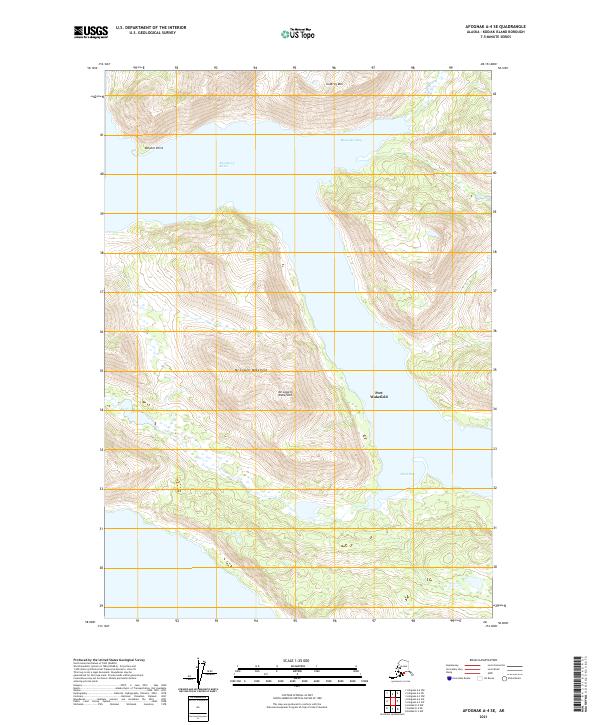
2021 · Afognak A-4 SE
USGS Topo · 1:25,000
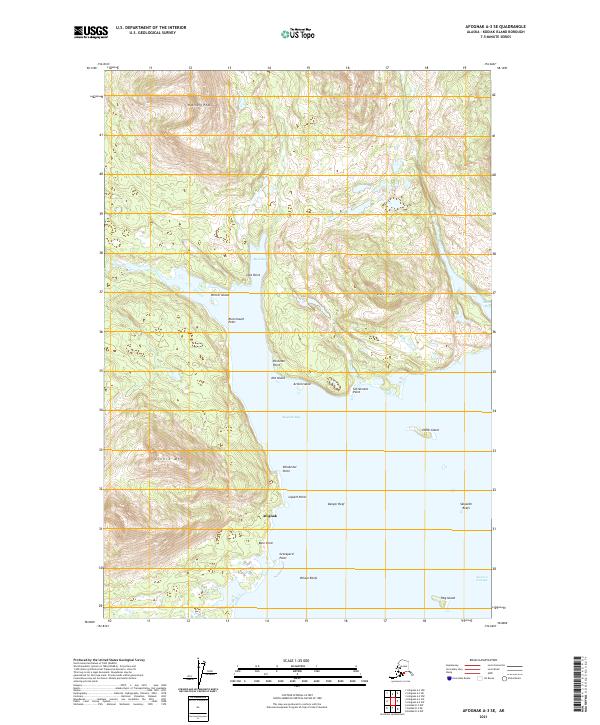
2021 · Afognak A-3 SE
USGS Topo · 1:25,000