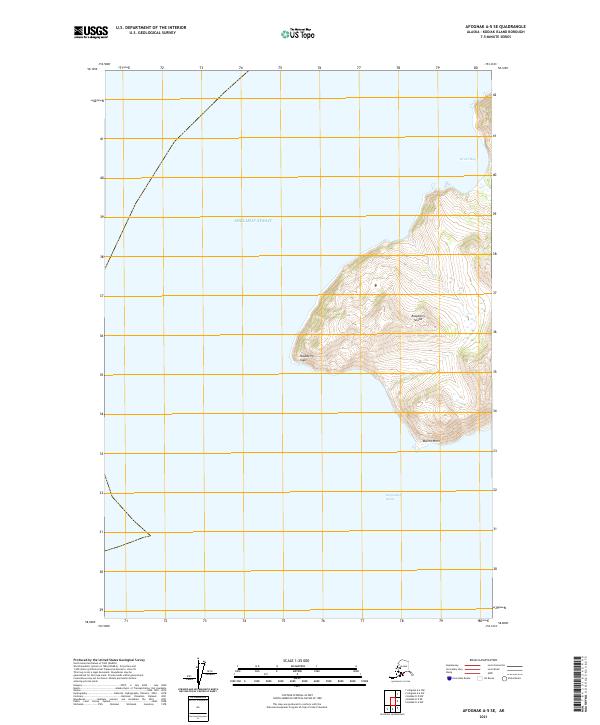
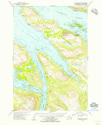
2021 Map of Afognak A-5 SE
USGS Topo · Published 2021About this map
Shelikof Strait defines the western expanse of this coastal survey, where the maritime environment of Kodiak Island meets the open waters of the Gulf of Alaska. The map centers on the northwestern reaches of a large island landmass, characterized by significant elevation changes that drop sharply toward the shoreline. Along the northern coast, Driver Bay provides a localized maritime feature amidst the steep, contoured terrain. The absence of roads or established settlements emphasizes the remote, wilderness character of this area, where the landscape is shaped primarily by glacial and tectonic forces rather than human development. The grid lines of the Public Land Survey System, including t24s r25w, t25s r25w, and t25s r26w, overlay the natural topography, marking the administrative framework imposed on this maritime frontier.
Find a feature on this map
5 named features on this map. Tap any name to fly to it.
Don’t see what you’re looking for? This feature index may not catch every label — zoom into the map to look around manually.
Map Details
Editions of this 2021 Afognak A-5 SE Map
This is the sole edition of this map. No revisions or reprints were ever made.
Other maps of this area

1952 · Kodiak
USGS Topo · 1:250,000

1952 · Afognak
USGS Topo · 1:250,000

1952 · Afognak A-4
USGS Topo · 1:63,360

1952 · Kodiak D-5
USGS Topo · 1:63,360
1952 · Afognak A-5
USGS Topo · 1:63,360

1952 · Kodiak D-4
USGS Topo · 1:63,360

1953 · Afognak A-4
USGS Topo · 1:63,360
1953 · Afognak A-5
USGS Topo · 1:63,360
1954 · Kodiak D-5
USGS Topo · 1:63,360
1954 · Kodiak D-4
USGS Topo · 1:63,360