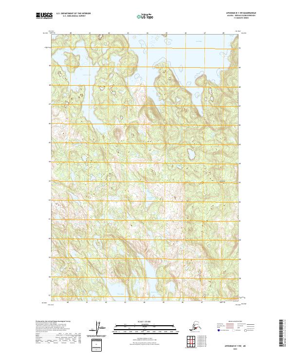
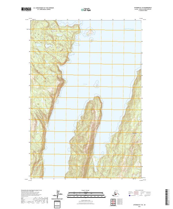
2021 Map of Afognak B-1 SW
USGS Topo · Published 2021About this map
Afognak Island exhibits a landscape defined by dramatic coastal indentations and interior freshwater bodies. This coastal region is bounded by the expansive Seal Bay to the north and the deep waters of Izhut Bay and Saposa Bay to the south. The interior terrain is marked by numerous small lakes and wetlands, most notably Laura Lake and Gretchen Lake. The absence of developed roads or named settlements reflects the remote nature of this wilderness area within the Kodiak Archipelago. Surveyed by the U.S. Geological Survey, the map reveals a complex hydrographic system where isolated lakes are separated by narrow ridges, illustrating the transition from open maritime environments to the island's interior basins.
Find a feature on this map
10 named features on this map. Tap any name to fly to it.
Don’t see what you’re looking for? This feature index may not catch every label — zoom into the map to look around manually.
Map Details
Editions of this 2021 Afognak B-1 SW Map
This is the sole edition of this map. No revisions or reprints were ever made.
Other maps of this area

1952 · Afognak
USGS Topo · 1:250,000

1952 · Afognak A-1
USGS Topo · 1:63,360

1952 · Afognak A-2
USGS Topo · 1:63,360

1952 · Afognak B-2
USGS Topo · 1:63,360

1952 · Afognak B-1
USGS Topo · 1:63,360
1953 · Afognak A-1
USGS Topo · 1:63,360

1954 · Afognak B-2
USGS Topo · 1:63,360
1954 · Afognak A-2
USGS Topo · 1:63,360
1954 · Afognak B-1
USGS Topo · 1:63,360
2021 · Afognak B-1 SE
USGS Topo · 1:25,000