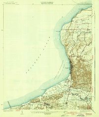
1942 Map of Aguadilla
USGS Topo · Published 1942About this map
The coastal sweep of Bahia de Aguadilla (Aguadilla Bay) anchors this 1942 publication, showcasing the vital transportation and agricultural infrastructure of northwest Puerto Rico. Based on surveys from 1922 and 1937, the map traces the American Railroad of Porto Rico as it winds through settlements like Aguadilla and Aguada. Along the shoreline, the Pta Borinquen L H stands as a primary maritime landmark near Verdun. Inland, the terrain rises into the Cerros de Aguada, where the landscape is defined by its water systems, including the Rio Culebrinas and its various tributaries. The concentration of rail sidings, such as Desvio Victoria and Desvio Jimenez, alongside the large Coloso estate, illustrates the region's reliance on the sugar industry and rail network for moving goods toward the port. Smaller local landmarks like the Iglesia de la Concepcion and Aguada Parque de Colon provide specific points of interest for local history.
Find a feature on this map
46 named features on this map. Tap any name to fly to it.
Don’t see what you’re looking for? This feature index may not catch every label — zoom into the map to look around manually.
Map Details
Editions of this 1942 Aguadilla Map
5 editions found
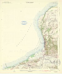
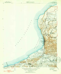
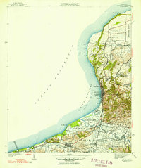
Other maps of this area

1937 · Aguadilla
USGS Topo · 1:20,000

1937 · Moca
USGS Topo · 1:20,000

1938 · Alto Sano
USGS Topo · 1:20,000

1941 · Moca
USGS Topo · 1:30,000

1941 · Rincon
USGS Topo · 1:30,000

1941 · Rincon
USGS Topo · 1:30,000

1941 · Isabela
USGS Topo · 1:30,000

1942 · Moca
USGS Topo · 1:30,000

1942 · Central La Plata
USGS Topo · 1:30,000

1942 · Aguadilla
USGS Topo · 1:30,000