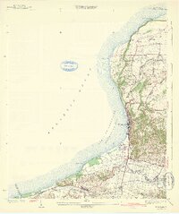
1942 Map of Aguadilla
USGS Topo · Published 1942About this map
The coastal city of Aguadilla anchors this northwestern Puerto Rican landscape, where the foothills of the Cordillera Central meet the Aguadilla Bay. Surveyed between the early 1920s and late 1930s, the map reveals a region defined by its sugar industry and maritime importance. The American Railroad of Porto Rico traces the coastline and inland plains, connecting vital processing centers like Central Palma and Central Maleza Baja.
Find a feature on this map
49 named features on this map. Tap any name to fly to it.
Don’t see what you’re looking for? This feature index may not catch every label — zoom into the map to look around manually.
Map Details
Editions of this 1942 Aguadilla Map
5 editions found
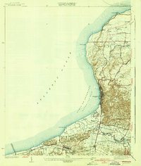
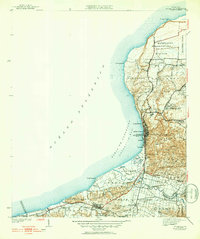
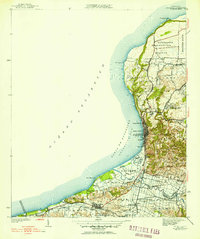
Other maps of this area

1937 · Aguadilla
USGS Topo · 1:20,000

1937 · Moca
USGS Topo · 1:20,000

1938 · Alto Sano
USGS Topo · 1:20,000

1941 · Moca
USGS Topo · 1:30,000

1941 · Rincon
USGS Topo · 1:30,000

1941 · Rincon
USGS Topo · 1:30,000

1941 · Isabela
USGS Topo · 1:30,000

1942 · Moca
USGS Topo · 1:30,000

1942 · Central La Plata
USGS Topo · 1:30,000

1942 · Aguadilla
USGS Topo · 1:30,000