
1897 Map of Albion
USGS Topo · Published 1897About this map
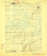
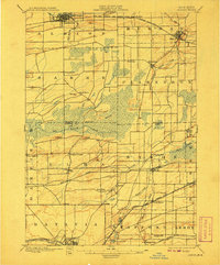
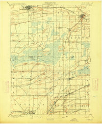
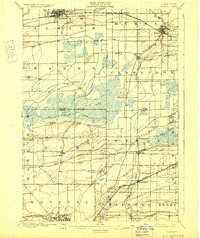
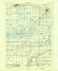
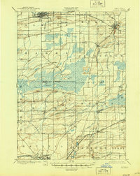
The Erie Canal anchors the northern landscape of this late-nineteenth-century survey, passing directly through the heart of Albion and Holley. This critical transportation corridor is complemented by the New York Central and Hudson River R.R. (Niagara Falls Line), which parallels the canal and facilitated the region's agricultural export economy. Moving south, the terrain shifts from the organized grids of the canal towns into the expansive Oak Orchard Swamp, a significant natural feature that separates the northern settlements from the rolling landscape of Genesee County.
Find a feature on this map
50 named features on this map. Tap any name to fly to it.
Don’t see what you’re looking for? This feature index may not catch every label — zoom into the map to look around manually.
Map Details
Editions of this 1897 Albion Map
7 editions found
Other maps of this area

1897 · Medina
USGS Topo · 1:62,500

1897 · Oak Orchard
USGS Topo · 1:62,500

1897 · Ridgeway
USGS Topo · 1:62,500

1899 · Hamlin
USGS Topo · 1:62,500

1899 · Brockport
USGS Topo · 1:62,500

1904 · Batavia
USGS Topo · 1:62,500

1904 · Caledonia
USGS Topo · 1:62,500

1905 · Attica
USGS Topo · 1:62,500

1932 · Hamlin
USGS Topo · 1:24,000

1934 · Brockport
USGS Topo · 1:24,000