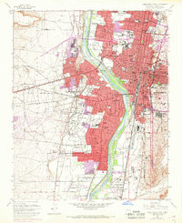
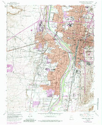
1960 Map of Albuquerque West
USGS Topo · Published 1969About this map
Old Town and the historic Town of Atrisco Grant anchor this 1960s study of a city in the midst of mid-century expansion. The urban footprint of Albuquerque is shown pushing westward across the Rio Grande, as indicated by the purple revision overlays that mark new residential developments and schools like Rio Grande High School. This period captures a landscape in transition where traditional irrigation features such as the Arenal Main Canal and Atriso Ditch still weave through old settlements like Armijo and Los Duranes, even as modern infrastructure like the West Mesa Airport and industrial Gravel Pit sites begin to define the valley floor. Educational and religious institutions are particularly dense here, ranging from the Our Lady of Mt Carmel Monastery to the Harwood Park Girls School, reflecting the deep-seated cultural foundations of the Bernalillo County community during this era of rapid growth.
Find a feature on this map
93 named features on this map. Tap any name to fly to it.
Don’t see what you’re looking for? This feature index may not catch every label — zoom into the map to look around manually.
Map Details
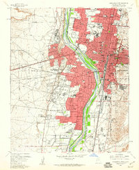
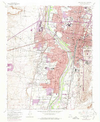
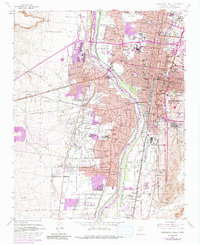
Editions of this 1960 Albuquerque West Map
5 editions found
Other maps of this area

1888 · Bernalillo
USGS Topo · 1:125,000

1889 · Albuquerque
USGS Topo · 1:125,000

1893 · Albuquerque
USGS Topo · 1:125,000

1934 · Alameda
USGS Topo · 1:24,000

1934 · West Albuquerque
USGS Topo · 1:24,000

1934 · Griegos
USGS Topo · 1:24,000

1934 · East Albuquerque
USGS Topo · 1:24,000

1938 · Albuquerque
USGS Topo · 1:62,500

1952 · Wind Mesa
USGS Topo · 1:24,000

1952 · Hubbell Spring
USGS Topo · 1:24,000