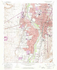
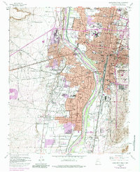
1960 Map of Albuquerque West
USGS Topo · Published 1974About this map
The Rio Grande valley floor and its complex irrigation network anchor this mid-century survey of the high desert landscape. The map captures the historic heart of Albuquerque alongside agricultural communities like Atrisco and Armijo, which were still distinct from the urban grid in the early 1960s. A dense system of ditches and drains, such as the Albuquerque Riverside Drain and Atriso Ditch, defines the land use patterns along the river, illustrating the transition from traditional farming to post-war suburban growth.
Find a feature on this map
92 named features on this map. Tap any name to fly to it.
Don’t see what you’re looking for? This feature index may not catch every label — zoom into the map to look around manually.
Map Details
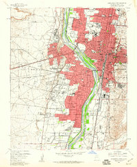
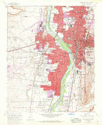
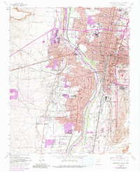
Editions of this 1960 Albuquerque West Map
5 editions found
Other maps of this area

1888 · Bernalillo
USGS Topo · 1:125,000

1889 · Albuquerque
USGS Topo · 1:125,000

1893 · Albuquerque
USGS Topo · 1:125,000

1934 · Alameda
USGS Topo · 1:24,000

1934 · West Albuquerque
USGS Topo · 1:24,000

1934 · Griegos
USGS Topo · 1:24,000

1934 · East Albuquerque
USGS Topo · 1:24,000

1938 · Albuquerque
USGS Topo · 1:62,500

1952 · Wind Mesa
USGS Topo · 1:24,000

1952 · Hubbell Spring
USGS Topo · 1:24,000