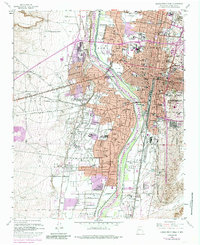
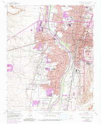
1960 Map of Albuquerque West
USGS Topo · Published 1985About this map
The Rio Grande corridor serves as the central artery for this mid-century look at the valley's development, where historic plazas meet rapid urban expansion. The ancient heart of the city is anchored by Old Town and the San Felipe Ch, while the industrial and transportation spine is defined by the Atchison Topeka and Santa Fe railroad line. To the east, the University of New Mexico campus and major medical facilities like Presbyterian Hospital mark the growing city core.
Find a feature on this map
101 named features on this map. Tap any name to fly to it.
Don’t see what you’re looking for? This feature index may not catch every label — zoom into the map to look around manually.
Map Details
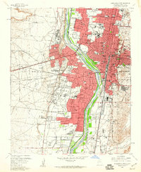
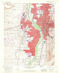
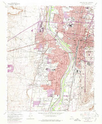
Editions of this 1960 Albuquerque West Map
5 editions found
Other maps of this area

1888 · Bernalillo
USGS Topo · 1:125,000

1889 · Albuquerque
USGS Topo · 1:125,000

1893 · Albuquerque
USGS Topo · 1:125,000

1934 · Alameda
USGS Topo · 1:24,000

1934 · West Albuquerque
USGS Topo · 1:24,000

1934 · Griegos
USGS Topo · 1:24,000

1934 · East Albuquerque
USGS Topo · 1:24,000

1938 · Albuquerque
USGS Topo · 1:62,500

1952 · Wind Mesa
USGS Topo · 1:24,000

1952 · Hubbell Spring
USGS Topo · 1:24,000