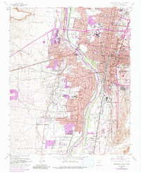
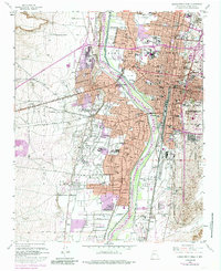
1960 Map of Albuquerque West
USGS Topo · Published 1985About this map
The Rio Grande corridor serves as the central artery for this mid-century view of Albuquerque, where the ancient Town of Atrisco Grant meets the expanding urban footprint. This period shows a transition from the historic core at Old Town, home to the San Felipe Ch, toward the modern developments of the Kirtland Addition. The landscape is a mix of agricultural heritage and civic infrastructure, with traditional neighborhoods like Barelas and Los Duranes sitting alongside vital water management systems such as the Albuquerque Riverside Drain and Arenal Canal.
Find a feature on this map
90 named features on this map. Tap any name to fly to it.
Don’t see what you’re looking for? This feature index may not catch every label — zoom into the map to look around manually.
Map Details
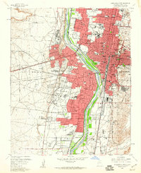
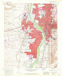
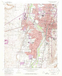
Editions of this 1960 Albuquerque West Map
5 editions found
Other maps of this area

1888 · Bernalillo
USGS Topo · 1:125,000

1889 · Albuquerque
USGS Topo · 1:125,000

1893 · Albuquerque
USGS Topo · 1:125,000

1934 · Alameda
USGS Topo · 1:24,000

1934 · West Albuquerque
USGS Topo · 1:24,000

1934 · Griegos
USGS Topo · 1:24,000

1934 · East Albuquerque
USGS Topo · 1:24,000

1938 · Albuquerque
USGS Topo · 1:62,500

1952 · Wind Mesa
USGS Topo · 1:24,000

1952 · Hubbell Spring
USGS Topo · 1:24,000