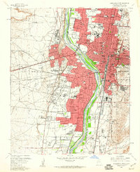
1960 Map of Albuquerque West
USGS Topo · Published 1960About this map
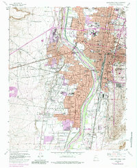
The Rio Grande corridor serves as the central spine of this 1960 revision, where the historical footprint of the Town of Albuquerque Grant meets a rapidly expanding urban landscape. West of the river, the Atriso Grant Boundary defines a vast area of mesas and gravel pits, while the valley floor is crisscrossed by an intricate network of irrigation features like the Albuquerque Riverside Drain and Arenal Canal. This infrastructure supported long-standing agricultural communities such as Los Duranes, Atrisco, and Arenal that were increasingly transitioning into suburban neighborhoods.
Find a feature on this map
91 named features on this map. Tap any name to fly to it.
Don’t see what you’re looking for? This feature index may not catch every label — zoom into the map to look around manually.
Map Details
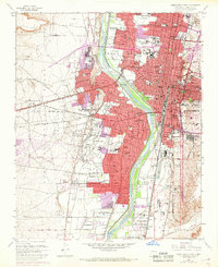
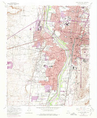
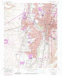
Editions of this 1960 Albuquerque West Map
5 editions found
Other maps of this area

1888 · Bernalillo
USGS Topo · 1:125,000

1889 · Albuquerque
USGS Topo · 1:125,000

1893 · Albuquerque
USGS Topo · 1:125,000

1934 · Alameda
USGS Topo · 1:24,000

1934 · West Albuquerque
USGS Topo · 1:24,000

1934 · Griegos
USGS Topo · 1:24,000

1934 · East Albuquerque
USGS Topo · 1:24,000

1938 · Albuquerque
USGS Topo · 1:62,500

1952 · Wind Mesa
USGS Topo · 1:24,000

1952 · Hubbell Spring
USGS Topo · 1:24,000