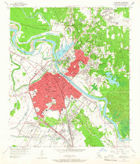
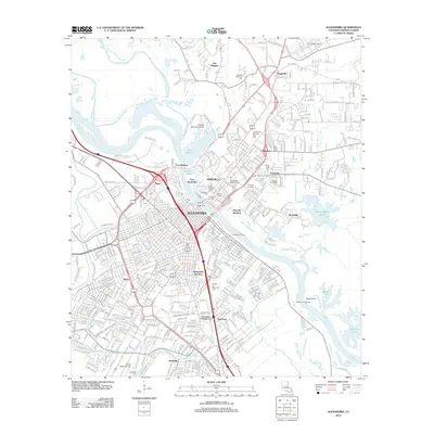
1972 Map of Alexandria
USGS Topo · Published 1974About this map
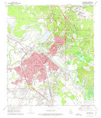
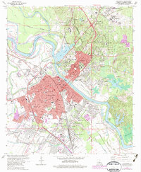
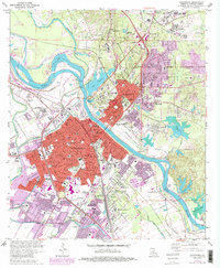
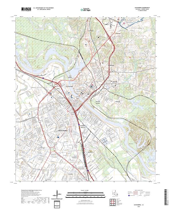
The Red River creates a winding divide between Alexandria and Pineville in this early 1970s topographic record. The landscape is defined by its institutional and transportation hubs, featuring the sprawling grounds of Camp Beauregard to the northeast and the Central Louisiana State Hospital at the heart of the community. The map details a dense network of transit, including the Kansas City Southern and Missouri Pacific railroads that converge near Lake Buhlow.
Find a feature on this map
88 named features on this map. Tap any name to fly to it.
Don’t see what you’re looking for? This feature index may not catch every label — zoom into the map to look around manually.
Map Details
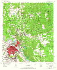
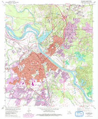
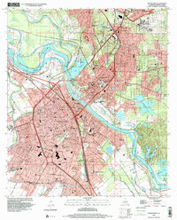
Editions of this 1972 Alexandria Map
4 editions found
Historical Maps of Alexandria Through Time
13 maps found

1941 Alexandria
Rapides Parish, LA
1953 Alexandria
Rapides Parish, LA

1955 Alexandria
Rapides Parish, LA
1957 Alexandria
Rapides Parish, LA
1957 Alexandria
Rapides Parish, LA
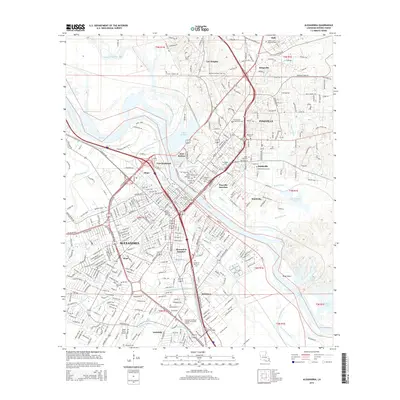
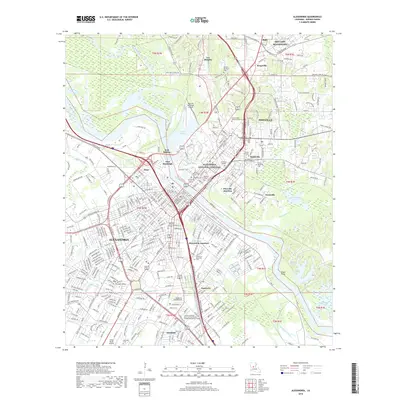
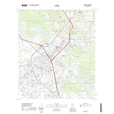
1972 Alexandria
Rapides Parish, LA

1986 Alexandria
Rapides Parish, LA
1998 Alexandria
Rapides Parish, LA
2012 Alexandria
Rapides Parish, LA
2015 Alexandria
Rapides Parish, LA
2018 Alexandria
Rapides Parish, LA
2021 Alexandria
Rapides Parish, LA
2024 Alexandria
Rapides Parish, LA