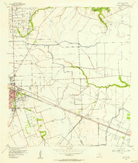
1956 Map of Algoa
USGS Topo · Published 1957About this map
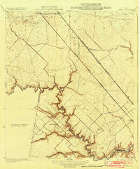
The coastal prairie of Galveston County in the mid-1950s is defined by a complex intersection of petroleum extraction, irrigation infrastructure, and rail transport. The Hastings Oil Field and Algoa Oil Field dominate the landscape with clusters of tanks and wells, while the extensive American Canal system winds through the territory, crossing natural watercourses like Dickinson Bayou and Mustang Bayou via siphons and flumes. These artificial waterways were critical for supporting the agricultural industry alongside the industrial growth of the region.
Find a feature on this map
24 named features on this map. Tap any name to fly to it.
Don’t see what you’re looking for? This feature index may not catch every label — zoom into the map to look around manually.
Map Details
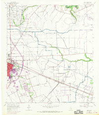
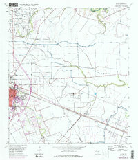
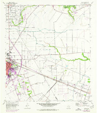
Editions of this 1956 Algoa Map
4 editions found
Other maps of this area

1916 · Genoa
USGS Topo · 1:24,000

1916 · Seabrook
USGS Topo · 1:24,000

1920 · Seabrook
USGS Topo · 1:31,680

1920 · Genoa
USGS Topo · 1:31,680

1920 · Mykawa
USGS Topo · 1:31,680

1929 · Dickinson
USGS Topo · 1:24,000

1929 · Algoa
USGS Topo · 1:24,000

1929 · Hitchcock
USGS Topo · 1:24,000

1932 · Algoa
USGS Topo · 1:31,680
1932 · Genoa
USGS Topo · 1:31,680