
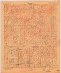
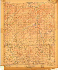
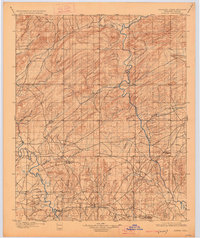
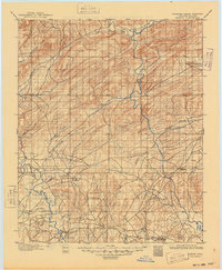
1901 Map of Alikchi
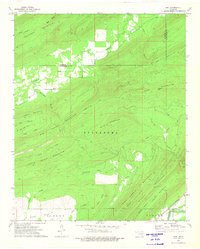
USGS Topo · Published 1901This historical map portrays the area of Alikchi in 1901, primarily covering Pushmataha County as well as portions of Choctaw County and McCurtain County. Featuring a scale of 1:125000, this map provides a highly detailed snapshot of the terrain, roads, buildings, counties, and historical landmarks in the Alikchi region at the time. Published in 1901, it is one of 5 known editions of this map due to revisions or reprints.
Find a feature on this map
30 named features on this map. Tap any name to fly to it.
Don’t see what you’re looking for? This feature index may not catch every label — zoom into the map to look around manually.
Map Details
Editions of this 1901 Alikchi Map
5 editions found
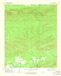
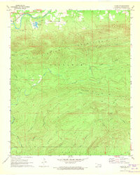
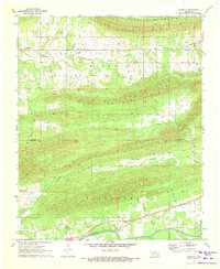
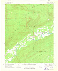
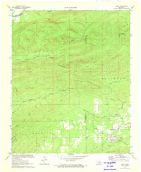
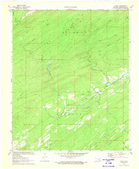
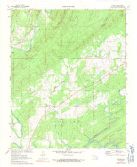
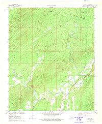
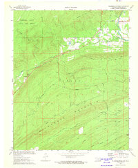
Historical Maps of Mound Grove Through Time
19 maps found
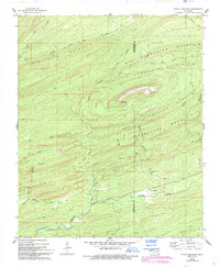
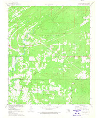
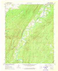
1901 Alikchi
Pushmataha County, OK
1957 Jumbo
Pushmataha County, OK
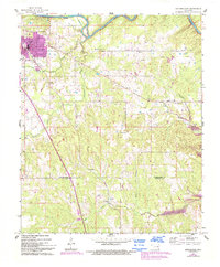
1961 Antlers East
Pushmataha County, OK
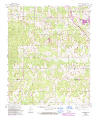
1961 Antlers West
Pushmataha County, OK
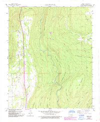
1962 Caney Mountain
Pushmataha County, OK
1962 Signal Mountain
Pushmataha County, OK

1962 Sobol
Pushmataha County, OK
1971 Albion SE
Pushmataha County, OK
1971 Albion SW
Pushmataha County, OK
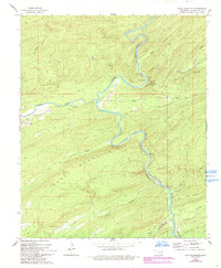
1971 Kiamichi
Pushmataha County, OK
1971 Spencerville
Pushmataha County, OK
1971 Stanley
Pushmataha County, OK
1972 Clebit
Pushmataha County, OK
1972 Cloudy
Pushmataha County, OK
1972 Dunbar
Pushmataha County, OK
1972 Kosoma
Pushmataha County, OK
1972 Snow
Pushmataha County, OK
1972 Wildhorse Mountain
Pushmataha County, OK
1973 Adel
Pushmataha County, OK