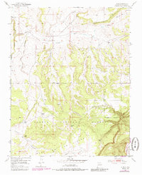
1953 Map of Alire
USGS Topo · Published 1985About this map
Alire stands as a small focal point in this high-elevation landscape of Rio Arriba County, where the high mesa breaks into deep canyons. This survey, primarily based on 1951 aerial photography with 1970s revisions, illustrates a land managed for water and timber within the Carson National Forest. The presence of a Cem near the settlement indicates the long-standing community roots in an area defined by seasonal water sources like Garcia Tank, Trujillo Tank, and the perennial flows of Rio Cebolla.
Find a feature on this map
18 named features on this map. Tap any name to fly to it.
Don’t see what you’re looking for? This feature index may not catch every label — zoom into the map to look around manually.
Map Details
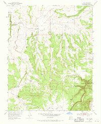
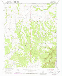
Editions of this 1953 Alire Map
4 editions found
Other maps of this area

1909 · Gallina
USGS Topo · 1:125,000

1918 · Abiquiu
USGS Topo · 1:125,000

1918 · Tusas
USGS Topo · 1:125,000

1953 · Alire
USGS Topo · 1:24,000

1953 · Echo Ampitheater
USGS Topo · 1:24,000

1953 · Canjilon
USGS Topo · 1:24,000

1953 · Laguna Peak
USGS Topo · 1:24,000

1953 · Navajo Peak
USGS Topo · 1:24,000

1953 · Ghost Ranch
USGS Topo · 1:24,000

1954 · Aztec
USGS Topo · 1:250,000