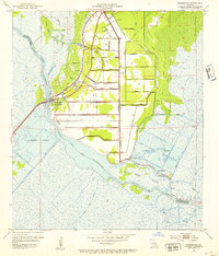
1952 Map of Allemands
USGS Topo · Published 1953About this map
Bayou Des Allemands carves a winding path through the marshlands of South Louisiana, defining the boundary between St. Charles and Lafourche Parishes. The landscape is a complex network of natural waterways and an extensive grid of man-made channels, including a sequence of numbered canals from Canal No 3 to Canal No 24 that facilitate the operations of the Paradis Oil Field. The settlement of Allemands serves as a local hub where the Southern Pacific railroad crosses the bayou.
Find a feature on this map
58 named features on this map. Tap any name to fly to it.
Don’t see what you’re looking for? This feature index may not catch every label — zoom into the map to look around manually.
Map Details
Editions of this 1952 Allemands Map
2 editions found
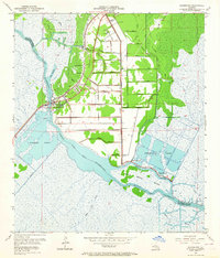
Other maps of this area

1891 · Hahnville
USGS Topo · 1:62,500

1892 · Lac Des Allemands
USGS Topo · 1:62,500

1892 · Cut-Off
USGS Topo · 1:62,500

1892 · Houma
USGS Topo · 1:62,500

1932 · Lac Des Allemands SE
USGS Topo · 1:31,680

1932 · Houma NE
USGS Topo · 1:31,680

1932 · Hahnville NW
USGS Topo · 1:31,680

1932 · Lac Des Allemands NE
USGS Topo · 1:31,680

1932 · Hahnville SW
USGS Topo · 1:31,680

1932 · Hahnville NE
USGS Topo · 1:31,680