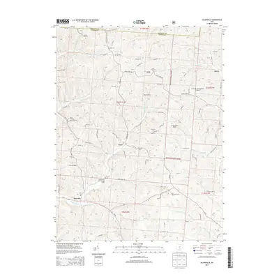
2013 Map of Allensville
USGS Topo · Published 2013About this map
Allensville and the winding waters of Middle Fork Salt Cr anchor this section of Vinton County, where the landscape is defined by the deep reaches of the Wayne National Forest. The map documents a rural Ohio topography of narrow hollows and steep ridges, including Garrett Ridge and Locust Grove Ridge. A high concentration of family and community burial grounds, such as Chestnut Grove Cem, Otterbein Cem, and Wolf Cem, provides significant data for genealogical research. One of the most distinctive landmarks is the Mount Olive Road Covered Bridge, situated near Mt Olive Cem. The map traces the small, dispersed settlements of Stella, Royal, and Siverly, connected by a network of rural routes like Siverly Creek Rd and Pretty Run Rd. These small hubs highlight the persistent rural character of the region as it transitioned into the early 21st century.
Find a feature on this map
125 named features on this map. Tap any name to fly to it.
Don’t see what you’re looking for? This feature index may not catch every label — zoom into the map to look around manually.
Map Details
Editions of this 2013 Allensville Map
This is the sole edition of this map. No revisions or reprints were ever made.
Other maps of this area

1904 · Zaleski
USGS Topo · 1:62,500

1905 · Wilkesville
USGS Topo · 1:62,500

1907 · Zaleski
USGS Topo · 1:62,500

1908 · Wilkesville
USGS Topo · 1:62,500

1910 · Laurelville
USGS Topo · 1:62,500

1912 · Laurelville
USGS Topo · 1:62,500

1913 · Jackson
USGS Topo · 1:62,500

1944 · Jackson
USGS Topo · 1:62,500

1944 · Laurelville
USGS Topo · 1:62,500

1947 · Columbus
USGS Topo · 1:250,000