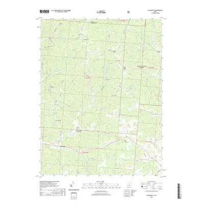
2019 Map of Allensville
USGS Topo · Published 2019About this map
Allensville anchors the southern portion of this landscape where Middle Fork Salt Cr winds through the hills of Vinton County. This area of Ohio is defined by a deep network of ridges and hollows, including Garrett Ridge and Bray Hollow, much of which is preserved within the Wayne National Forest. The map provides a detailed view of rural infrastructure, most notably the Mount Olive Road Covered Bridge located north of the primary settlement.
Find a feature on this map
69 named features on this map. Tap any name to fly to it.
Don’t see what you’re looking for? This feature index may not catch every label — zoom into the map to look around manually.
Map Details
Editions of this 2019 Allensville Map
This is the sole edition of this map. No revisions or reprints were ever made.
Other maps of this area

1904 · Zaleski
USGS Topo · 1:62,500

1905 · Wilkesville
USGS Topo · 1:62,500

1907 · Zaleski
USGS Topo · 1:62,500

1908 · Wilkesville
USGS Topo · 1:62,500

1910 · Laurelville
USGS Topo · 1:62,500

1912 · Laurelville
USGS Topo · 1:62,500

1913 · Jackson
USGS Topo · 1:62,500

1944 · Jackson
USGS Topo · 1:62,500

1944 · Laurelville
USGS Topo · 1:62,500

1947 · Columbus
USGS Topo · 1:250,000