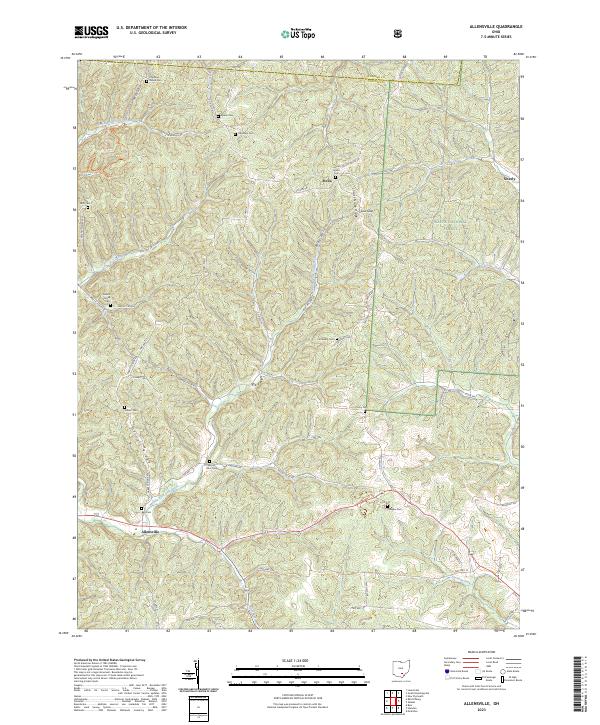
2023 Map of Allensville
USGS Topo · Published 2023About this map
Wayne National Forest covers the eastern portion of this Vinton County landscape, where the ridges and hollows dictate the layout of small settlements and rural cemeteries. The community of Allensville sits near the banks of the Middle Fork Salt Creek, a central waterway fed by tributaries such as Pretty Run and Goose Creek. This modern survey reveals a highly distributed settlement pattern, with family and community legacy preserved in numerous burial grounds like Chestnut Grove Cem and Garrett Cem. Steep terrain is defined by prominent features such as Locust Grove Ridge and Garrett Ridge, which separate the various drainage basins. Local connectivity remains anchored to historical paths like Bray Hollow Rd and Garrett Ridge Rd, tracing the high ground between the small hamlets of Stella and Siverly.
Find a feature on this map
68 named features on this map. Tap any name to fly to it.
Don’t see what you’re looking for? This feature index may not catch every label — zoom into the map to look around manually.
Map Details
Editions of this 2023 Allensville Map
This is the sole edition of this map. No revisions or reprints were ever made.
Other maps of this area

1904 · Zaleski
USGS Topo · 1:62,500

1905 · Wilkesville
USGS Topo · 1:62,500

1907 · Zaleski
USGS Topo · 1:62,500

1908 · Wilkesville
USGS Topo · 1:62,500

1910 · Laurelville
USGS Topo · 1:62,500

1912 · Laurelville
USGS Topo · 1:62,500

1913 · Jackson
USGS Topo · 1:62,500

1944 · Jackson
USGS Topo · 1:62,500

1944 · Laurelville
USGS Topo · 1:62,500

1947 · Columbus
USGS Topo · 1:250,000