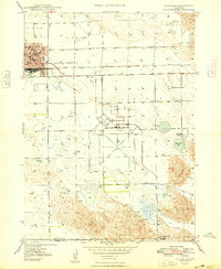
1985 Map of Alliance
USGS Topo · Published 1986About this map
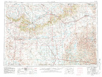
Alliance serves as the primary hub of this high plains landscape, anchored by its extensive rail infrastructure and the nearby Alliance Municipal Airport. The Burlington Northern railroad corridor dictates the settlement pattern of the southern half of the sheet, connecting a string of small communities including Hoffland, Antioch, Lakeside, Ellsworth, and Bingham. These towns trace the transition into the Sandhills, where the terrain becomes characterized by numerous depressions and natural basins such as Smith Lake and the Smith Lake State Wildlife Management Area. To the north, the Niobrara River carves through the plains, supported by the Mirage Flats Canal irrigation system. Notable landmarks like Wild Horse Butte and Morton Hill rise above the surrounding Highland Flats, defining a region shaped by agricultural irrigation and heavy rail transport.
Find a feature on this map
132 named features on this map. Tap any name to fly to it.
Don’t see what you’re looking for? This feature index may not catch every label — zoom into the map to look around manually.
Map Details
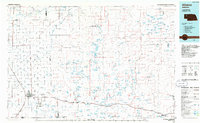
Editions of this 1985 Alliance Map
2 editions found
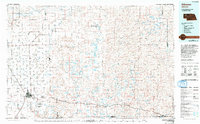
Historical Maps of Alliance Through Time
5 maps found