
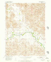
1952 Map of Almeria NW
USGS Topo · Published 1954About this map
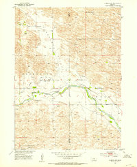
Pleasant Valley and the surrounding Nebraska sandhills define this mid-century landscape along the border of Blaine and Loup Counties. The North Loup River meanders across the center of the sheet, its path mirrored by a system of irrigation canals, including segments of an Aban'd Canal. This 1952 field check documents a rural ranching community organized around essential civic landmarks, with the Church of God and several schoolhouses, such as Pleasant Valley Sch and West End Sch, serving as the primary social anchors for dispersed residents like those at Peterson Ranch. The map reveals a transition in water management and land use, where natural drainage features like Dry Valley and named ranges like Bloody and Sawyer exist alongside human-engineered attempts to divert the river for agriculture.
Find a feature on this map
16 named features on this map. Tap any name to fly to it.
Don’t see what you’re looking for? This feature index may not catch every label — zoom into the map to look around manually.
Map Details
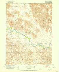
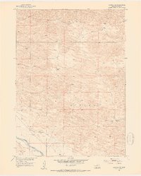
Editions of this 1952 Almeria NW Map
4 editions found
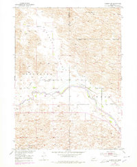
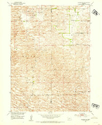
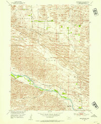
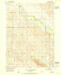
Other maps of this area
1952 · Brewster
USGS Topo · 1:24,000
1952 · Almeria NE
USGS Topo · 1:24,000
1952 · Almeria NW
USGS Topo · 1:24,000
1952 · Almeria SW
USGS Topo · 1:24,000
1952 · Brewster SE
USGS Topo · 1:24,000
1952 · Almeria
USGS Topo · 1:24,000

1955 · Broken Bow
USGS Topo · 1:250,000

1955 · O'Neill
USGS Topo · 1:250,000

1956 · Broken Bow
USGS Topo · 1:250,000

1959 · O'Neill
USGS Topo · 1:250,000