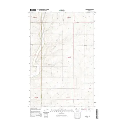
2013 Map of Almira SW
USGS Topo · Published 2013About this map
Wilson Cr defines the drainage of this interior section of the Columbia Plateau, where the high desert meets the structured grid of regional agriculture. This 2013 survey records a landscape shaped by long-standing homesteads and section lines, primarily defined by the border between Grant County and Lincoln County. The terrain is marked by gradual elevation changes and seasonal watercourses like Gibson Draw, illustrating the hydrological patterns of the Big Bend country.
Find a feature on this map
28 named features on this map. Tap any name to fly to it.
Don’t see what you’re looking for? This feature index may not catch every label — zoom into the map to look around manually.
Map Details
Editions of this 2013 Almira SW Map
This is the sole edition of this map. No revisions or reprints were ever made.
Other maps of this area

1953 · Ritzville
USGS Topo · 1:250,000

1956 · Wilson Creek
USGS Topo · 1:62,500

1959 · Ritzville
USGS Topo · 1:250,000

1965 · Ritzville
USGS Topo · 1:250,000

1968 · Hartline
USGS Topo · 1:24,000

1968 · Marlin
USGS Topo · 1:24,000

1968 · Hartline SE
USGS Topo · 1:24,000

1968 · Sullivan Lake
USGS Topo · 1:24,000

1969 · Almira
USGS Topo · 1:24,000

1969 · Almira SE
USGS Topo · 1:24,000