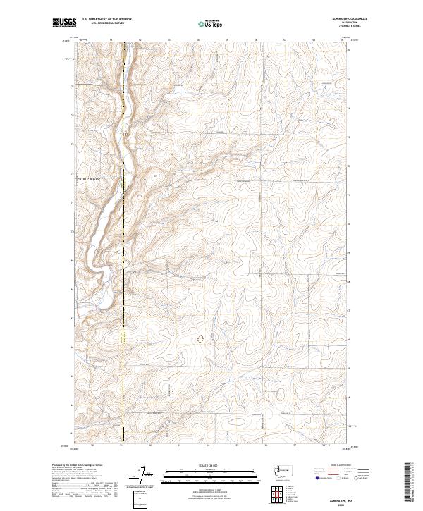
2023 Map of Almira SW
USGS Topo · Published 2023About this map
Wilson Creek and Gibson Draw wind through this plateau landscape in Lincoln County, where the terrain is marked by deep coulees and sweeping draws. The 2023 survey illustrates a rural grid defined by long-established section lines and agricultural access, with the Grant Co Lincoln Co boundary bisecting the western edge of the quadrangle. Local travel is dictated by a network of family-named roads such as Monson Rd, Christensen Rd E, and Peha Rd, which serve scattered farmsteads across the high plains. This contemporary mapping highlights the persistent geography of the Inland Empire, showing how modern infrastructure like Gibson Draw Rd E and Pfeifer Rd E follows the natural contours of the land, preserving the historic spatial patterns of Washington's wheat country.
Find a feature on this map
31 named features on this map. Tap any name to fly to it.
Don’t see what you’re looking for? This feature index may not catch every label — zoom into the map to look around manually.
Map Details
Editions of this 2023 Almira SW Map
This is the sole edition of this map. No revisions or reprints were ever made.
Other maps of this area

1953 · Ritzville
USGS Topo · 1:250,000

1956 · Wilson Creek
USGS Topo · 1:62,500

1959 · Ritzville
USGS Topo · 1:250,000

1965 · Ritzville
USGS Topo · 1:250,000

1968 · Hartline
USGS Topo · 1:24,000

1968 · Marlin
USGS Topo · 1:24,000

1968 · Hartline SE
USGS Topo · 1:24,000

1968 · Sullivan Lake
USGS Topo · 1:24,000

1969 · Almira
USGS Topo · 1:24,000

1969 · Almira SE
USGS Topo · 1:24,000