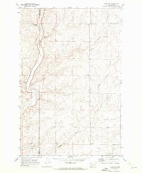
1969 Map of Almira SW
USGS Topo · Published 1972About this map
Wilson Creek winds through the western landscape of this 1969 survey, following the border where Grant and Lincoln counties meet. The terrain is defined by dry coulees and drainage patterns like Gibson Draw, reflecting a rural environment dedicated to agriculture and resource extraction. Evidence of the local economy is visible in the scattered Storage Bins and a Gravel Pit located in the northern reaches. A significant social landmark is the Canniwai Grange Hall situated in the southern portion of the map, serving as a focal point for the farming community. The presence of multiple wells and isolated springs highlights the importance of water management in this arid part of the Pacific Northwest during the late 1960s.
Find a feature on this map
10 named features on this map. Tap any name to fly to it.
Don’t see what you’re looking for? This feature index may not catch every label — zoom into the map to look around manually.
Map Details
Editions of this 1969 Almira SW Map
This is the sole edition of this map. No revisions or reprints were ever made.
Other maps of this area

1953 · Ritzville
USGS Topo · 1:250,000

1956 · Wilson Creek
USGS Topo · 1:62,500

1959 · Ritzville
USGS Topo · 1:250,000

1965 · Ritzville
USGS Topo · 1:250,000

1968 · Hartline
USGS Topo · 1:24,000

1968 · Marlin
USGS Topo · 1:24,000

1968 · Hartline SE
USGS Topo · 1:24,000

1968 · Sullivan Lake
USGS Topo · 1:24,000

1969 · Almira
USGS Topo · 1:24,000

1969 · Almira SE
USGS Topo · 1:24,000