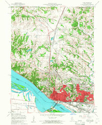
1954 Map of Alton
USGS Topo · Published 1959About this map
Educational institutions and river commerce define the landscape of Alton in the mid-1950s. The city is a significant regional hub, anchored by Monticello College, Shurtleff College, and the Western Military Academy. The industrial and transportation corridor along the Mississippi River features the Lewis and Clark Toll Bridge and extensive rail infrastructure for the Gulf Mobile and Ohio and the Chicago Burlington and Quincy railroads. To the north, the settlement of Godfrey sits amidst a network of rural schools and churches such as Mason Sch and Bethany Ch. Local history is deeply rooted here, evidenced by the Confederate Cem and numerous family and community landmarks like Vahalla Cem and Godfrey Pond. The river landscape includes Dresser Island and Ellis Island, marking the complex waterways south of the city center.
Find a feature on this map
54 named features on this map. Tap any name to fly to it.
Don’t see what you’re looking for? This feature index may not catch every label — zoom into the map to look around manually.
Map Details
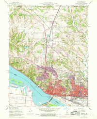
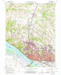
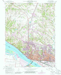
Editions of this 1954 Alton Map
4 editions found
Other maps of this area

1925 · Brighton
USGS Topo · 1:62,500

1927 · Alton
USGS Topo · 1:62,500

1927 · St. Charles
USGS Topo · 1:62,500

1928 · Brighton
USGS Topo · 1:62,500

1930 · Jerseyville
USGS Topo · 1:62,500

1933 · Jerseyville
USGS Topo · 1:62,500

1933 · Saint Charles
USGS Topo · 1:62,500

1934 · Alton
USGS Topo · 1:62,500

1935 · Florissant
USGS Topo · 1:24,000

1935 · Columbia Bottom
USGS Topo · 1:24,000