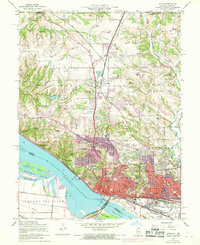
1954 Map of Alton
USGS Topo · Published 1969About this map
The industrial and riverfront character of Alton is clearly defined at mid-century, where the Mississippi River meets a complex network of railroads including the Gulf Mobile and Ohio and the Illinois Terminal. This period shows the city as a significant regional hub, anchored by civic landmarks like the Public Square, City Hall, and the massive Lock and Dam No 26. The landscape north of the city transitions into the rolling hills of Godfrey, notable for the campus of Monticello College and the tranquil Warren Levis Lake.
Find a feature on this map
65 named features on this map. Tap any name to fly to it.
Don’t see what you’re looking for? This feature index may not catch every label — zoom into the map to look around manually.
Map Details
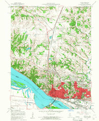
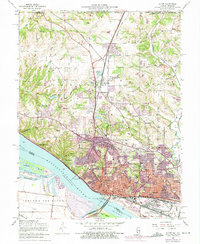
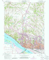
Editions of this 1954 Alton Map
4 editions found
Other maps of this area

1925 · Brighton
USGS Topo · 1:62,500

1927 · Alton
USGS Topo · 1:62,500

1927 · St. Charles
USGS Topo · 1:62,500

1928 · Brighton
USGS Topo · 1:62,500

1930 · Jerseyville
USGS Topo · 1:62,500

1933 · Jerseyville
USGS Topo · 1:62,500

1933 · Saint Charles
USGS Topo · 1:62,500

1934 · Alton
USGS Topo · 1:62,500

1935 · Florissant
USGS Topo · 1:24,000

1935 · Columbia Bottom
USGS Topo · 1:24,000