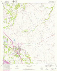
1961 Map of Alvarado
USGS Topo · Published 1979About this map
The city of Alvarado serves as a major transportation hub in Johnson County, defined by the intersection of the Atchison Topeka and Santa Fe and the Missouri Kansas Texas railroads. This 1961 survey, updated in the late 1970s, captures the town's expansion, including the development of an Athletic Field and the Washington Carver school. The surrounding landscape is a network of small creeks like Walnut Creek and Chambers Creek that feed into Alvarado Lake. Local genealogy is well-documented through several family and community landmarks, such as Glenwood Cemetery, Center League Cem, and Cahill Cem. Rural life outside the town center is marked by small settlements like Happy Hill and Pleasant Point, while cultural fixtures of the era, including a Drive-in Theater and a local Landing Strip, appear alongside established country churches like Thompson Ch.
Find a feature on this map
32 named features on this map. Tap any name to fly to it.
Don’t see what you’re looking for? This feature index may not catch every label — zoom into the map to look around manually.
Map Details
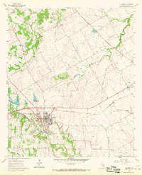
Editions of this 1961 Alvarado Map
3 editions found

Other maps of this area

1891 · Cleburne
USGS Topo · 1:125,000

1894 · Cleburne
USGS Topo · 1:125,000

1894 · Fort Worth
USGS Topo · 1:125,000

1954 · Dallas
USGS Topo · 1:250,000

1955 · Burleson
USGS Topo · 1:24,000

1958 · Dallas
USGS Topo · 1:250,000

1959 · Britton
USGS Topo · 1:24,000

1959 · Mansfield
USGS Topo · 1:24,000
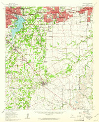
1959 · Arlington
USGS Topo · 1:62,500

1960 · Keene
USGS Topo · 1:24,000