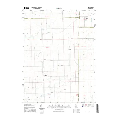
2016 Map of Ambia
USGS Topo · Published 2016About this map
Ambia stands as the primary settlement on the Indiana side of the border in this 2016 survey, situated just south of the Prudential Ditch. The landscape is defined by the agricultural grid of the Illinois-Indiana borderlands, where State Line Rd serves as the literal boundary between Vermilion County, Illinois, and Benton and Warren Counties, Indiana. Small rural clusters and historically significant locales such as Cheneyville, Coalton, and Heaton are spaced along the section-line roads, reflecting a settlement pattern established long before modern consolidation. Drainage is provided by the winding courses of the N Fork Vermilion River and the Middle Br N Fork Vermilion River, which cut across the geometric regularity of the farm roads and county lines.
Find a feature on this map
42 named features on this map. Tap any name to fly to it.
Don’t see what you’re looking for? This feature index may not catch every label — zoom into the map to look around manually.
Map Details
Editions of this 2016 Ambia Map
This is the sole edition of this map. No revisions or reprints were ever made.
Other maps of this area

1933 · Hoopeston
USGS Topo · 1:48,000

1938 · Milford
USGS Topo · 1:48,000

1938 · Hoopeston
USGS Topo · 1:62,500

1944 · Milford
USGS Topo · 1:62,500

1953 · Danville
USGS Topo · 1:250,000

1955 · Danville
USGS Topo · 1:250,000

1956 · Danville
USGS Topo · 1:250,000

1961 · Tab
USGS Topo · 1:24,000

1961 · West Lebanon
USGS Topo · 1:24,000

1962 · Boswell
USGS Topo · 1:24,000