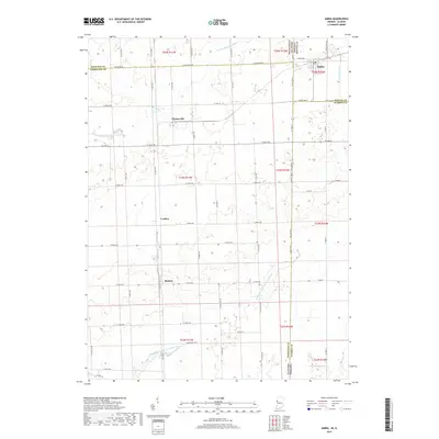
2019 Map of Ambia
USGS Topo · Published 2019About this map
Ambia sits at the eastern edge of this landscape, positioned where the flat agricultural plains of Benton County meet the Illinois state line. The terrain is defined by its drainage patterns, notably the N Fork Vermilion River and the Middle Br N Fork Vermilion River, which create subtle undulations in the otherwise level farmland. Smaller settlements like Cheneyville, Coalton, and Heaton serve as quiet landmarks along the grid of county roads that crisscross the area.
Find a feature on this map
58 named features on this map. Tap any name to fly to it.
Don’t see what you’re looking for? This feature index may not catch every label — zoom into the map to look around manually.
Map Details
Editions of this 2019 Ambia Map
This is the sole edition of this map. No revisions or reprints were ever made.
Other maps of this area

1933 · Hoopeston
USGS Topo · 1:48,000

1938 · Milford
USGS Topo · 1:48,000

1938 · Hoopeston
USGS Topo · 1:62,500

1944 · Milford
USGS Topo · 1:62,500

1953 · Danville
USGS Topo · 1:250,000

1955 · Danville
USGS Topo · 1:250,000

1956 · Danville
USGS Topo · 1:250,000

1961 · Tab
USGS Topo · 1:24,000

1961 · West Lebanon
USGS Topo · 1:24,000

1962 · Boswell
USGS Topo · 1:24,000