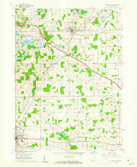
1960 Map of Angola East
USGS Topo · Published 1962About this map
Fremont and the northeastern corner of Angola anchor this Steuben County landscape, illustrating a period of significant infrastructure development. The Indiana East-West Toll Road slices diagonally across the terrain, creating a modern contrast to the established paths of the New York Central railroad and the network of township roads. Numerous small lakes and wetlands, such as Cedar Lake, Marsh Lake, and Walters Lake, define the local geography, many of which are connected by Pigeon Creek. Local history is well-preserved through numerous rural landmarks, including the Scott Center Sch and several small burial grounds like Kope Cem and Sowles Cem. In the south, the Public Fishing Site at Pigeon Lake highlights the area's recreational character during the early 1960s.
Find a feature on this map
37 named features on this map. Tap any name to fly to it.
Don’t see what you’re looking for? This feature index may not catch every label — zoom into the map to look around manually.
Map Details
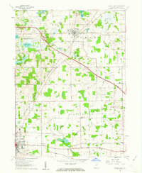
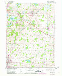
Editions of this 1960 Angola East Map
3 editions found
Other maps of this area

1939 · Hamilton
USGS Topo · 1:24,000

1939 · Angola East
USGS Topo · 1:24,000

1939 · Clear Lake
USGS Topo · 1:24,000

1940 · Metz
USGS Topo · 1:24,000

1940 · Clear Lake
USGS Topo · 1:24,000

1941 · Angola West
USGS Topo · 1:24,000

1942 · Ashley
USGS Topo · 1:24,000

1942 · Angola West
USGS Topo · 1:24,000

1947 · Angola East
USGS Topo · 1:24,000

1948 · Hamilton
USGS Topo · 1:24,000