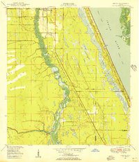
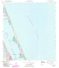
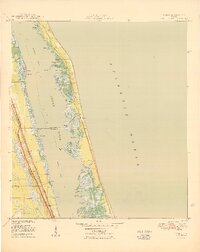
1948 Map of Ankona
USGS Topo · Published 1956This historical map portrays the area of Ankona in 1948, primarily covering St. Lucie County as well as portions of Martin County. Featuring a scale of 1:24000, this map provides a highly detailed snapshot of the terrain, roads, buildings, counties, and historical landmarks in the Ankona region at the time. Published in 1956, it is one of 4 known editions of this map due to revisions or reprints.
Find a feature on this map
19 named features on this map. Tap any name to fly to it.
Don’t see what you’re looking for? This feature index may not catch every label — zoom into the map to look around manually.
Map Details
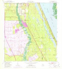
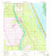
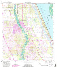
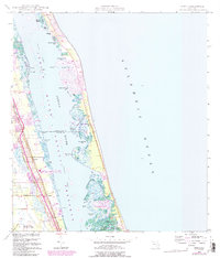
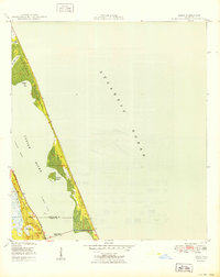
Editions of this 1948 Ankona Map
4 editions found
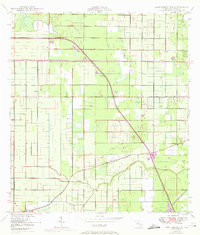
Historical Maps of Eldred Through Time
11 maps found
1948 Ankona
St. Lucie County, FL
1948 Eden
St. Lucie County, FL
1948 Indrio
St. Lucie County, FL

1949 Fort Pierce NW
St. Lucie County, FL

1950 Ankona
St. Lucie County, FL
1950 Eden
St. Lucie County, FL
1950 Fort Pierce NW
St. Lucie County, FL
1950 Indrio
St. Lucie County, FL
1953 Fort Pierce SW
St. Lucie County, FL
1953 North Of Bluefield
St. Lucie County, FL
1953 St. Johns Marsh South
St. Lucie County, FL