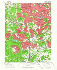
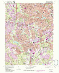
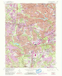
1965 Map of Annandale
USGS Topo · Published 1966About this map
Lake Barcroft serves as a central landmark in this mid-1960s landscape, reflecting the rapid suburbanization of Fairfax County. The map documents an era of significant infrastructure expansion, evidenced by the construction of Interstate 66 and the Henry G Shirley Memorial Highway, which carved new corridors through established neighborhoods like Seven Corners and Annandale. This version captures the community just as the Landmark Shopping Center emerged as a regional hub, while older landmarks like Fairfax Hospital and the Drive-in Theater near Merrifield highlight the era's shifting social patterns.
Find a feature on this map
202 named features on this map. Tap any name to fly to it.
Don’t see what you’re looking for? This feature index may not catch every label — zoom into the map to look around manually.
Map Details
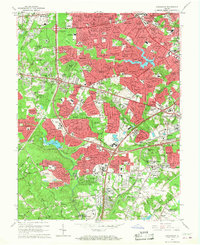
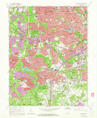
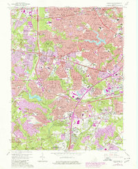
Editions of this 1965 Annandale Map
6 editions found
Other maps of this area

1890 · Mt. Vernon
USGS Topo · 1:125,000

1891 · Mt. Vernon
USGS Topo · 1:125,000

1894 · Mt. Vernon
USGS Topo · 1:125,000

1897 · Mt. Vernon
USGS Topo · 1:125,000

1900 · Washington
USGS Topo · 1:62,500

1913 · Indian Head
USGS Topo · 1:62,500

1915 · Fairfax
USGS Topo · 1:62,500

1923 · Indian Head
USGS Topo · 1:48,000

1925 · Indian Head
USGS Topo · 1:62,500

1927 · Quantico
USGS Topo · 1:62,500