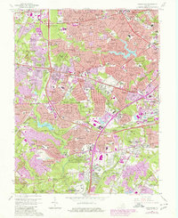
1965 Map of Annandale
USGS Topo · Published 1980About this map
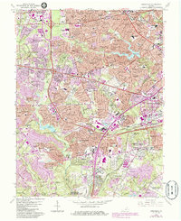
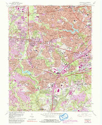
Accotink Creek and Holmes Run carve through the landscape of Northern Virginia as suburban expansion rapidly redefines the area during the mid-1960s. The dense network of new subdivisions like Canterbury Woods, Kings Park, and Broyhill Crest surrounds established nodes like Annandale and Merrifield. This era captures a critical moment of infrastructure growth, with the Capital Beltway and Shirley Memorial Highway facilitating heavy development. Significant public and military sites anchor the southern reaches, including a portion of the Fort Belvoir Military Reservation and the U S Coast Guard Reservation (Radio Station). Local community history is preserved through dozens of neighborhood schools and churches, such as Wakefield Chapel and Annandale Ch, alongside leisure landmarks like the Springfield Country Club and Lake Barcroft.
Find a feature on this map
204 named features on this map. Tap any name to fly to it.
Don’t see what you’re looking for? This feature index may not catch every label — zoom into the map to look around manually.
Map Details
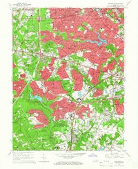
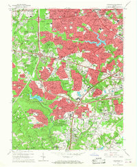
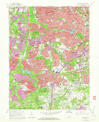
Editions of this 1965 Annandale Map
6 editions found
Other maps of this area

1890 · Mt. Vernon
USGS Topo · 1:125,000

1891 · Mt. Vernon
USGS Topo · 1:125,000

1894 · Mt. Vernon
USGS Topo · 1:125,000

1897 · Mt. Vernon
USGS Topo · 1:125,000

1900 · Washington
USGS Topo · 1:62,500

1913 · Indian Head
USGS Topo · 1:62,500

1915 · Fairfax
USGS Topo · 1:62,500

1923 · Indian Head
USGS Topo · 1:48,000

1925 · Indian Head
USGS Topo · 1:62,500

1927 · Quantico
USGS Topo · 1:62,500