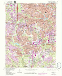
1965 Map of Annandale
USGS Topo · Published 1984About this map
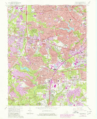
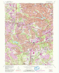
Annandale and the surrounding Fairfax County communities appear in a state of rapid suburban expansion in this mid-1960s survey, with extensive 1980s updates shown in purple. This map documents the dense residential network forming around major transport arteries like the Capital Beltway, Little River Turnpike, and the Shirley Highway. The landscape is a mix of established neighborhoods like Ravensworth and Merrifield alongside significant federal and military installations, including the Cameron Station Mil Res and the northern edge of the Fort Belvoir Military Reservation.
Find a feature on this map
194 named features on this map. Tap any name to fly to it.
Don’t see what you’re looking for? This feature index may not catch every label — zoom into the map to look around manually.
Map Details
Editions of this 1965 Annandale Map
6 editions found
Other maps of this area

1890 · Mt. Vernon
USGS Topo · 1:125,000

1891 · Mt. Vernon
USGS Topo · 1:125,000

1894 · Mt. Vernon
USGS Topo · 1:125,000

1897 · Mt. Vernon
USGS Topo · 1:125,000

1900 · Washington
USGS Topo · 1:62,500

1913 · Indian Head
USGS Topo · 1:62,500

1915 · Fairfax
USGS Topo · 1:62,500

1923 · Indian Head
USGS Topo · 1:48,000

1925 · Indian Head
USGS Topo · 1:62,500

1927 · Quantico
USGS Topo · 1:62,500