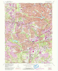
1965 Map of Annandale
USGS Topo · Published 1992About this map
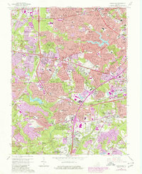
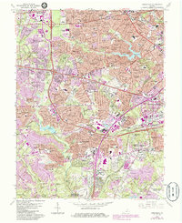
Annandale and the surrounding suburbs of Fairfax and Arlington Counties are seen here during a period of rapid mid-century expansion. The landscape is characterized by the conversion of wooded terrain into master-planned residential communities such as Ravensworth Park, Kings Park, and Strathmeade Springs. The infrastructure of the era is anchored by the crossing of the Capital Beltway and Little River Turnpike, while the older transportation patterns of the Southern Railway still mark the southern corridor near Edsall Station.
Find a feature on this map
177 named features on this map. Tap any name to fly to it.
Don’t see what you’re looking for? This feature index may not catch every label — zoom into the map to look around manually.
Map Details
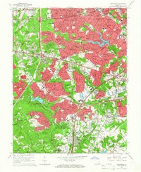
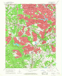
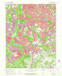
Editions of this 1965 Annandale Map
6 editions found
Other maps of this area

1890 · Mt. Vernon
USGS Topo · 1:125,000

1891 · Mt. Vernon
USGS Topo · 1:125,000

1894 · Mt. Vernon
USGS Topo · 1:125,000

1897 · Mt. Vernon
USGS Topo · 1:125,000

1900 · Washington
USGS Topo · 1:62,500

1913 · Indian Head
USGS Topo · 1:62,500

1915 · Fairfax
USGS Topo · 1:62,500

1923 · Indian Head
USGS Topo · 1:48,000

1925 · Indian Head
USGS Topo · 1:62,500

1927 · Quantico
USGS Topo · 1:62,500