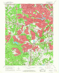
1965 Map of Annandale
USGS Topo · Published 1968About this map
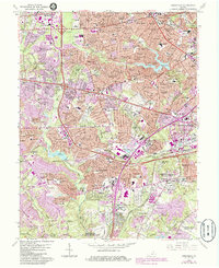
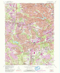
Annandale and Springfield emerge as burgeoning suburban hubs in the mid-1960s, defined by a dense network of residential subdivisions and major transportation corridors like the Capital Beltway and the Henry G Shirley Memorial Highway. The landscape is a transition between established communities and new developments such as Ravensworth and North Springfield. Significant military and government footprints are evident at Cameron Station Mil Res and the northern edge of Fort Belvoir Military Reservation, while the Southern Railway still serves the area via Edsall Station. Water features like Lake Barcroft and Lake Accotink provide central landmarks for the surrounding neighborhoods. Numerous educational institutions, including Annandale High Sch and Poe Intermediate Sch, illustrate the rapid population growth in Fairfax County during this era.
Find a feature on this map
192 named features on this map. Tap any name to fly to it.
Don’t see what you’re looking for? This feature index may not catch every label — zoom into the map to look around manually.
Map Details
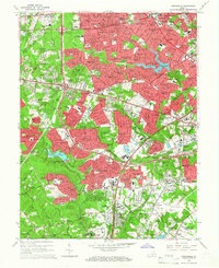
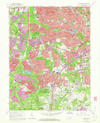
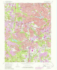
Editions of this 1965 Annandale Map
6 editions found
Other maps of this area

1890 · Mt. Vernon
USGS Topo · 1:125,000

1891 · Mt. Vernon
USGS Topo · 1:125,000

1894 · Mt. Vernon
USGS Topo · 1:125,000

1897 · Mt. Vernon
USGS Topo · 1:125,000

1900 · Washington
USGS Topo · 1:62,500

1913 · Indian Head
USGS Topo · 1:62,500

1915 · Fairfax
USGS Topo · 1:62,500

1923 · Indian Head
USGS Topo · 1:48,000

1925 · Indian Head
USGS Topo · 1:62,500

1927 · Quantico
USGS Topo · 1:62,500