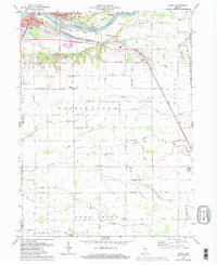
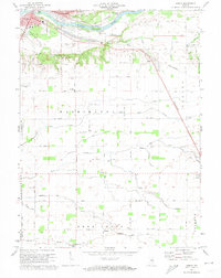
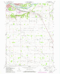
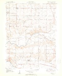
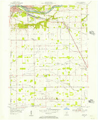
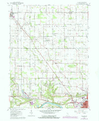
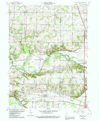
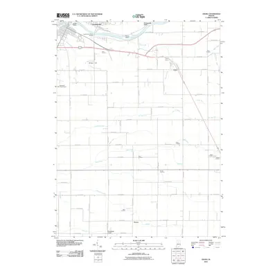
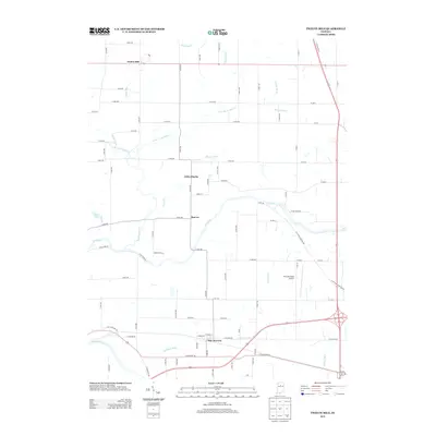
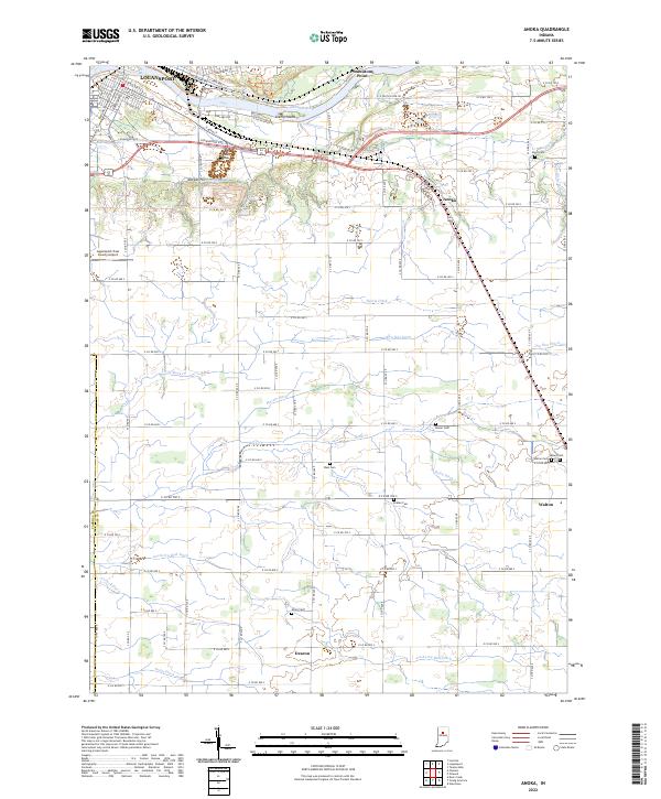
1972 Map of Anoka
USGS Topo · Published 1980About this map
The Wabash River and Eel River converge at Logansport, defining the northwestern corner of this Indiana landscape. The river system is dotted with features like Biddle Island and Kienly Island, while the surrounding terrain is marked by Potawatomi Point and Morgan Hill. This 1972 survey, later updated in 1980, captures a rural infrastructure supported by the Norfolk and Western and Conrail railroads. Beyond the city limits, the grid of country roads connects smaller communities like Anoka and Deacon. Genealogists will find a high density of rural burial grounds and sanctuaries, including the Bruner Cem, Miller Cem, and Blue Ball Ch. The map also traces the transition of the local economy through sites like the Logansport Municipal Airport, a prominent Quarry, and the Cass High Sch in the southeast.
Find a feature on this map
75 named features on this map. Tap any name to fly to it.
Don’t see what you’re looking for? This feature index may not catch every label — zoom into the map to look around manually.
Map Details
Editions of this 1972 Anoka Map
Historical Maps of Logansport Through Time
20 maps found
1951 Twelve Mile
Cass County, IN
1955 Anoka
Cass County, IN
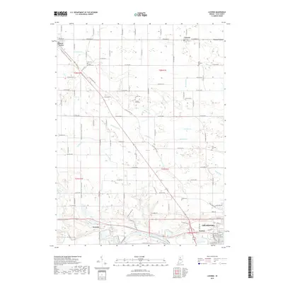
1960 Lucerne
Cass County, IN
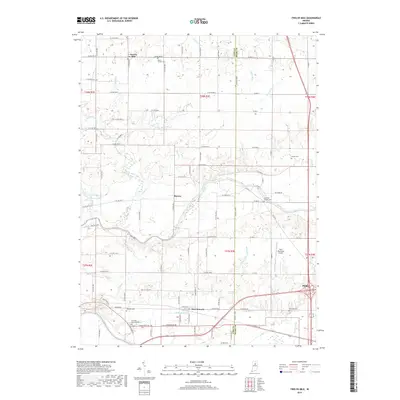
1963 Twelve Mile
Cass County, IN
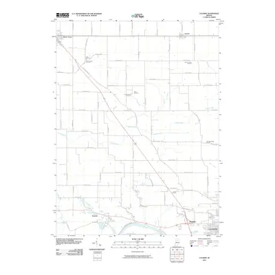
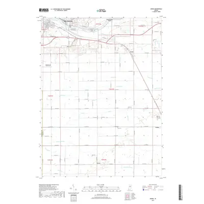
1972 Anoka
Cass County, IN
2010 Anoka
Cass County, IN
2010 Lucerne
Cass County, IN
2010 Twelve Mile
Cass County, IN
2013 Anoka
Cass County, IN
2013 Lucerne
Cass County, IN
2013 Twelve Mile
Cass County, IN
2016 Anoka
Cass County, IN
2016 Lucerne
Cass County, IN
2016 Twelve Mile
Cass County, IN
2019 Anoka
Cass County, IN
2019 Lucerne
Cass County, IN
2019 Twelve Mile
Cass County, IN
2022 Anoka
Cass County, IN
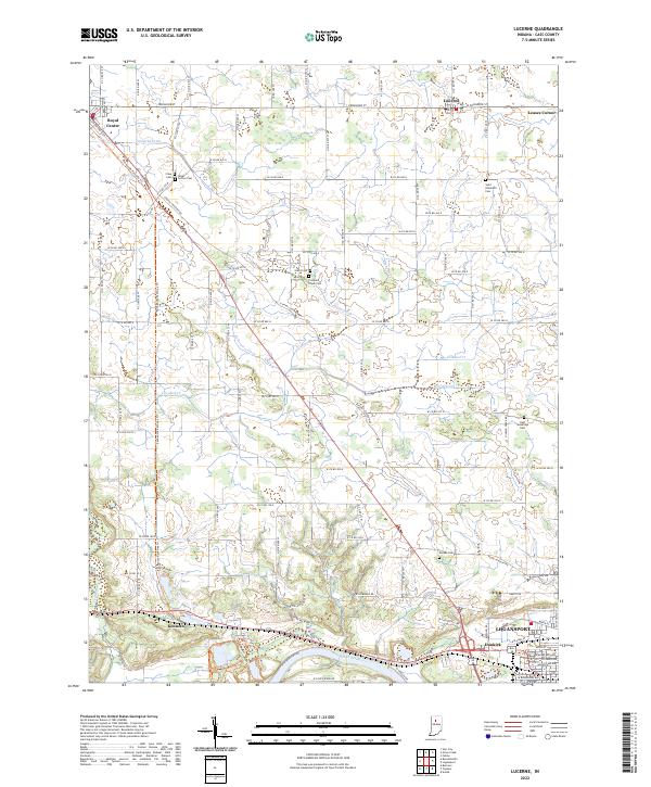
2022 Lucerne
Cass County, IN
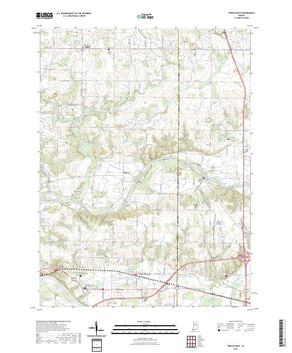
2022 Twelve Mile
Cass County, IN