
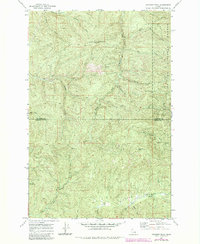
1969 Map of Anthony Peak
USGS Topo · Published 1973About this map
Anthony Peak dominates the northern landscape of this wilderness survey, standing within the bounds of the St Joe National Forest. The map documents a rugged timber and watershed region at the intersection of the Shoshone Co and Clearwater Co line. A high-altitude Lookout Tower marks the summit of Anthony Peak, overseeing a network of drainage systems including the Middle Fork St Maries R and the headwaters of the Potlatch River.
Find a feature on this map
30 named features on this map. Tap any name to fly to it.
Don’t see what you’re looking for? This feature index may not catch every label — zoom into the map to look around manually.
Map Details
Editions of this 1969 Anthony Peak Map
2 editions found
Other maps of this area

1955 · Pullman
USGS Topo · 1:250,000

1955 · Spokane
USGS Topo · 1:250,000

1958 · Spokane
USGS Topo · 1:250,000

1958 · Pullman
USGS Topo · 1:250,000

1961 · Fernwood
USGS Topo · 1:62,500

1961 · Bovill
USGS Topo · 1:62,500

1969 · Elk River
USGS Topo · 1:24,000
1969 · Elk Butte
USGS Topo · 1:24,000

1969 · Grandmother Mtn
USGS Topo · 1:24,000
1969 · Grice Ridge
USGS Topo · 1:24,000